
The goal for public access management in Biscayne Bay Aquatic Preserves (BBAP) is to promote and manage public use of the aquatic preserve that supports the protection of the resources of the preserves.
Recreation
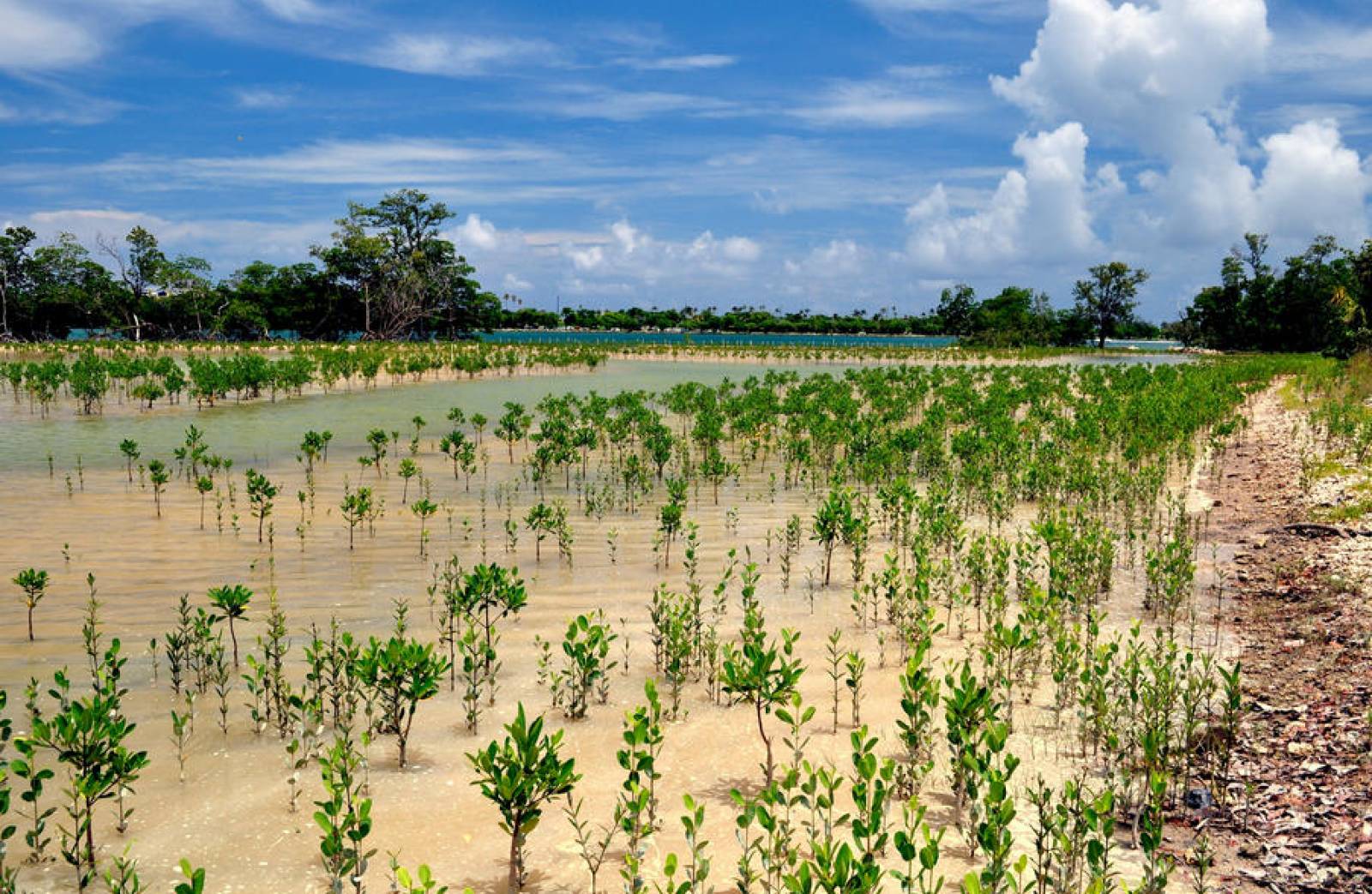
Miami-Dade County, Florida's most populous county, with 2,701,767 residents and 12.6% of Florida's population, extends the length of Biscayne Bay. Future population projections for Miami-Dade estimate an increase to 2,992,713 people in 2025 and to 3,398,177 by 2045. Monroe County’s northern border runs through Card Sound and Southern Biscayne Bay and is home to an estimated 74,228 residents in 2019 and to 80,159 by 2045. Often visitors from other areas make use of the county, which is known as a premier fishing and scuba diving destination. The goal of Biscayne Bay Aquatic Preserves is to preserve this area for future generations to enjoy.
The waters surrounding Miami are world-renowned for their recreational opportunities. These include bird watching, power boating, sail boating, canoeing, catamaraning, water skiing, jet skiing, hang gliding, swimming, windsurfing, snorkeling, scuba diving and fishing. Marinas and local parks, including three state parks, offer access to both of the aquatic preserves.
Beach access points to the aquatic preserve can be found here. Kayak launches and marinas are found in various locations around the Aquatic Preserve.
Adjacent/Overlapping State Parks:
Biscayne Bay Aquatic Preserves is part of the Florida Circumnavigational Saltwater Paddling Trail, a 1,515-mile trail through every Florida coastal habitat type. Segment 16 crosses through the northern part of the Biscayne Bay Aquatic Preserve.

Public Access
BBAP staff served on the Biscayne Bay Public Access Plan Advisory Plan in 2005 which produced "Get Your Feet Wet: The Public Access Plan for Biscayne Bay." The plan explored non-conventional access to the bay, such as providing visual access at street ends that lead to the bay.
Disability Access
BBAP staff work in cooperation with Nature Links to provide educational field day activities to students with developmental delays or disabilities.
Boating/Mooring
The high number of boaters presents a threat to the submerged resources of Biscayne Bay. Mooring fields help guard against that threat by giving boaters a safe place to anchor their boats instead of inadvertently damaging coral reefs or seagrass beds with anchors. BBAP staff provide guidance for the development of additional mooring fields to accommodate the high number of boaters.
Consumptive Use
The predominant consumptive use within BBAP comes from recreational fishing and boating, commercial fishing, lobstering, shrimping and crabbing. BBAP staff provide educational materials to marine officers for use when issuing boating violation citations or warnings. These materials help increase public awareness of local speed zones and natural resources such as seagrass beds and manatees.
Interpretation
BBAP staff have posted signs at local boat ramps and marinas to educate the public on seagrasses and their coverage throughout the bay as well as the boundaries of the preserves. Staff are also finding local partners to help provide signs that provide information about cultural and natural resources in BBAP.
Interested in subscribing to DEP newsletters or receiving DEP updates through email?
Sign UpThe Florida Department of Environmental Protection is the state’s lead agency for environmental management and stewardship – protecting our air, water and land. The vision of the Florida Department of Environmental Protection is to create strong community partnerships, safeguard Florida’s natural resources and enhance its ecosystems.
Learn More