


The eighth edition of the printed CT Trail Guide is available for purchase on the Florida Paddling Trails Association website! All information is available on this website, but the book will save you lots of printing and it is bound. Maps must still be downloaded.
Thinking of paddling all or part of the Florida Circumnavigational Saltwater Paddling Trail? See the long-distance paddling recommendations before planning your trip.
This feature article about the trail was printed in the Tallahassee Democrat in 2019 and the Orlando Sentinel published this full length feature in 2021.

Beginning at Big Lagoon State Park near Pensacola, extending around the Florida peninsula and Keys, and ending at Fort Clinch State Park near the Georgia state line in Fernandina Beach, the Florida Circumnavigational Saltwater Paddling Trail (commonly referred to as the CT) is a 1,515-mile sea kayaking paradise. It is the country's longest designated national recreation trail.
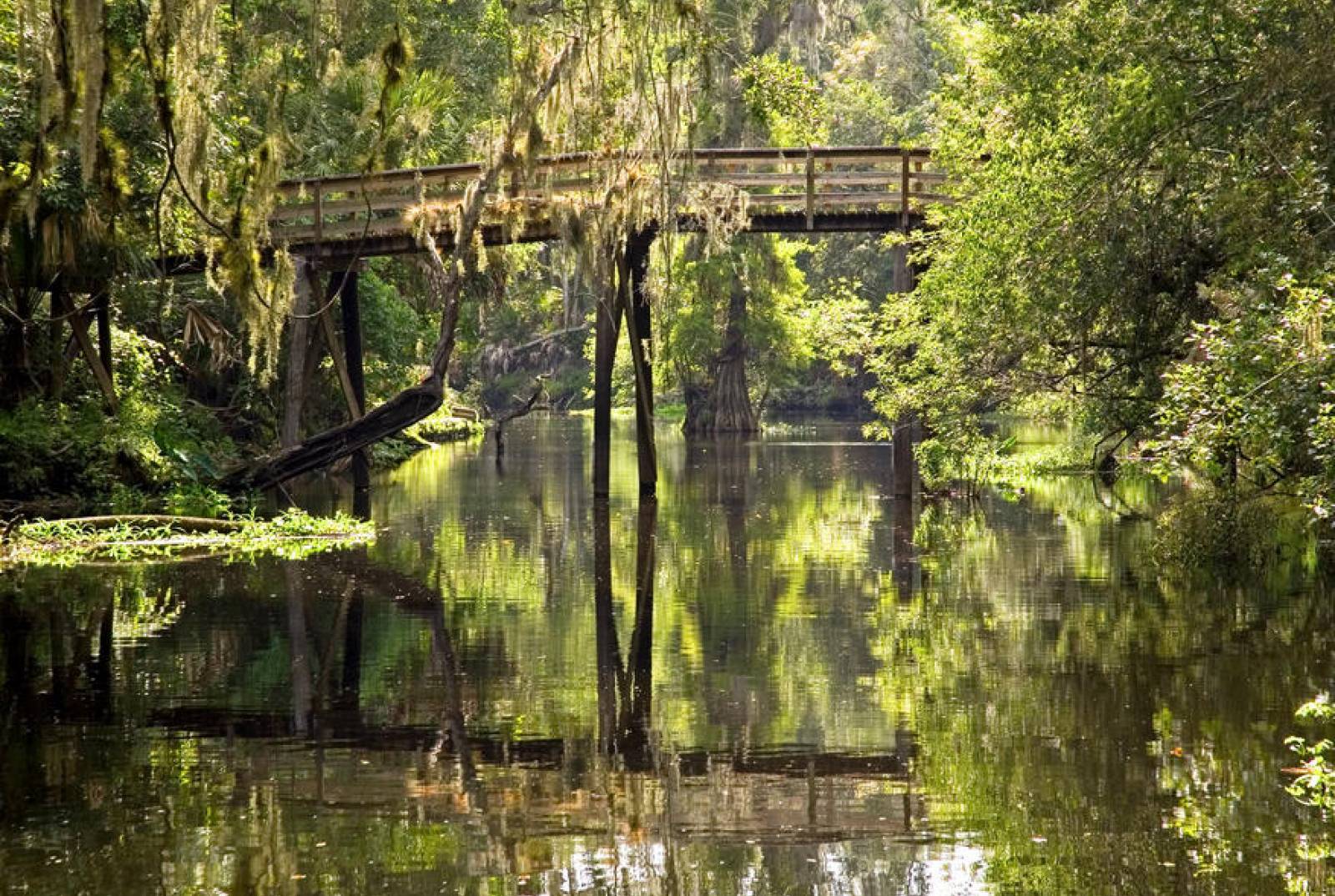
The trail includes every Florida coastal habitat type, from barrier island dune systems to salt marsh to mangroves. Numerous historical sites and points of interest are accessible by kayak along with colorful fishing communities and urban centers.
The CT is divided into 26 segments. Each segment is unique, ranging from the remote Big Bend Coast and Everglades/Florida Bay wilderness, to the more urbanized coastlines of Pinellas County and Fort Lauderdale.
The trail is utilized by thousands of Florida residents and visitors alike who paddle the trail for a few hours, days, weeks or months. Some hardy souls have paddled the entire trail, and others seek to complete the trail in segments over several years, similar to how hikers often tackle the Florida or Appalachian Trail.
The CT is a strategic long-term priority of the Florida Department of Environmental Protection, coordinated by the Office of Greenways and Trails, but it relies heavily on the involvement and cooperation of numerous agencies at the federal, state, regional and local levels, along with private outfitters, businesses, paddling clubs and individual volunteers.
The nonprofit Florida Paddling Trails Association (FPTA) was formed in 2007 to act as volunteer stewards of the CT along with other paddling trails. The "CT Hall of Fame" page of their website shows paddlers who have completed the entire trail. FPTA volunteers along the route also serve as "trail angels" for CT thru paddlers. The FPTA website has a Google Earth map set of the entire trail.
The CT has incorporated and partnered with several existing local and regional trails such as the Big Bend Saltwater Paddling Trail, the Nature Coast Trail, the Gulf and Wilderness waterways in Everglades National Park, and several county blueway trails.
Also, the trail now connects to the states of Georgia, South Carolina, North Carolina and Virginia via the Southeast Coast Saltwater Paddling Trail.
Educating paddlers about Florida's rich history and fragile coastal environment, the CT traverses 20 national parks, seashores, wildlife refuges and marine sanctuaries, 39 Florida aquatic preserves and nearly 80 Florida state parks, along with numerous local parks and preserves. Sea kayaking is one of the country's fastest-growing outdoor sports and requires less infrastructure and fossil fuels than most other coastal boating activities. And new materials and manufacturing designs are helping to make kayaks lighter and easier to maneuver.
Segment guides, photos and maps can be downloaded from this website at no charge. If desired, all of the text information in the form of a printed guide is available for purchase on the FPTA website, with proceeds directed to the group.
Color maps must still be downloaded from this website, and a link to all of the maps in one document is available on the trail segment descriptions, maps and more page. Also, through paddlers have posted blogs and trip reports on the Florida Paddling Trails Association website.
If you are planning a through trip on the CT, please contact us for GIS data and let us know a little about your plans. We are happy to answer any questions. We also appreciate your feedback and input so we can keep maps and segment guides up to date. Contact Doug Alderson.
Interested in subscribing to DEP newsletters or receiving DEP updates through email?
Sign UpThe Florida Department of Environmental Protection is the state’s lead agency for environmental management and stewardship – protecting our air, water and land. The vision of the Florida Department of Environmental Protection is to create strong community partnerships, safeguard Florida’s natural resources and enhance its ecosystems.
Learn More