

Parks and Recreation Topics

DEP manages 175 state parks, trails and historic sites as part of its award-winning Florida State Parks system. Through its Office of Resilience and Coastal Protection, DEP also manages 43 aquatic preserves, and along with NOAA, three national estuarine research reserves and the Florida Keys National Marine Sanctuary. DEP-managed recreation areas encompass some of Florida’s most beautiful rivers, lakes, bays, beaches, forests, caves and woodlands. DEP also provides financial assistance to local governments to develop or acquire land for public outdoor recreation.
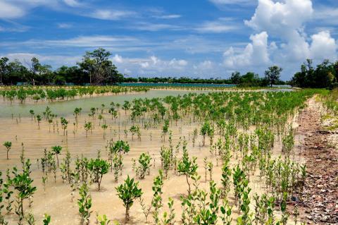
Aquatic Preserves
Florida has 43 aquatic preserves, encompassing 2.9 million acres, along Florida's coastline, except for four located inland near springs and rivers. All of these waters are ours to enjoy and protect.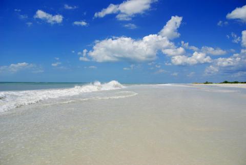
Beach Guide
A guide to public coastal access points along the entire Florida coast from the Gulf of America to the Atlantic Ocean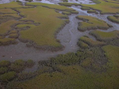
Guana Tolomato Matanzas NERR
The GTM Research Reserve protects 75,761 acres south of Jacksonville on Florida's northeast coast.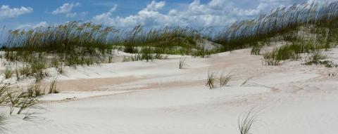
Recreation and Parks
Explore Florida's 175 state parks, state trails and historic sites that span nearly 800,000 acres and 100 miles of sandy white beach at FloridaStateParks.org.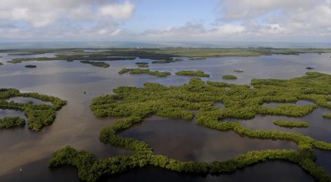
Rookery Bay NERR
Located at the northern end of the Ten Thousand Islands on the Gulf Coast of Florida, the research reserve includes one of the few remaining undisturbed mangrove estuaries in North America.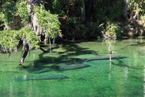
Visit a Spring
Springs offer visitors unsurpassed locations to swim, snorkel, scuba dive, and observe wildlife. Learn about the wealth of recreational opportunities available at springs and locate a spring near you...Interested in subscribing to DEP newsletters or receiving DEP updates through email?
Sign UpThe Florida Department of Environmental Protection is the state’s lead agency for environmental management and stewardship – protecting our air, water and land. The vision of the Florida Department of Environmental Protection is to create strong community partnerships, safeguard Florida’s natural resources and enhance its ecosystems.
Learn MoreTallahassee, Florida 32399-3000 Public.Services@FloridaDEP.gov 850-245-2118
