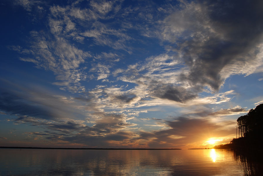
Estuaries: A delicate balance
Estuaries function as transition zones between the salt environment of the sea and the freshwater of the river. The processes occurring in these dynamic environments determine the type and distribution of organisms found in these systems. A complex suite of factors - including local rainfall, river flow, tides, winds and basin configuration - determine salinity in the Apalachicola estuary. Freshwater inflow from the Apalachicola River also delivers nutrients to the estuary ecosystem. The Apalachicola River floodplain has well-developed marsh and a complex slough-distributary system. Water moving laterally from river to floodplain undergoes dynamic processes affecting its composition of nutrients, suspended sediments, carbon, dissolved organic matter, and more. Alterations of any of these patterns can cause significant changes in energy flow, trophic interactions and species assemblages in estuaries.
The System-Wide Monitoring Program at Apalachicola Research Reserve
The System-Wide Monitoring Program (SWMP) at ANERR consists of continuous water quality monitoring, continuous meteorological monitoring and monthly nutrient and chlorophyll-a monitoring.
ANERR's continuous water quality monitoring program consists of seven stations in the lower river and bay area that collect temperature, water level, salinity, specific conductivity, dissolved oxygen, pH and turbidity at 15-minute intervals. The datalogger instruments used to collect this information are switched every 3-4 weeks with freshly calibrated sondes, and are post-calibrated upon return and checked carefully for biofouling and equipment issues. The data is downloaded, reviewed and checked for quality by research staff. The Reserve's first four stations began collecting this information from 1992-1995, with additional stations added in 2017 and 2019 as resources became available to fill data gaps.
ANERR has been conducting monthly nutrient and chlorophyll-a monitoring since 2002. Samples are collected every month at 11 sites in the bay and analyzed for concentrations of nitrate-nitrite, ammonium, total dissolved nitrogen, orthophosphate, total dissolved phosphate and chlorophyll-a.
ANERR has maintained a weather station in the marshes of upper East Bay since 2001. Parameters recorded are temperature, relative humidity, barometric pressure, wind speed, wind direction, precipitation and photosynthetically active radiation. Since weather can have a large impact on water conditions, this data is often used in analysis or cross-checked when analyzing the Reserve’s water quality datasets.
All of this data is carefully reviewed for quality and available for download from the National Estuarine Research Reserve's Centralized Data Management Office. Real-time meteorological data and water quality data at some stations is available from the same website. The nutrient and chlorophyll-a data is also available from DEP’s Watershed Information Network Database.