
Oil and Gas Maps
Image

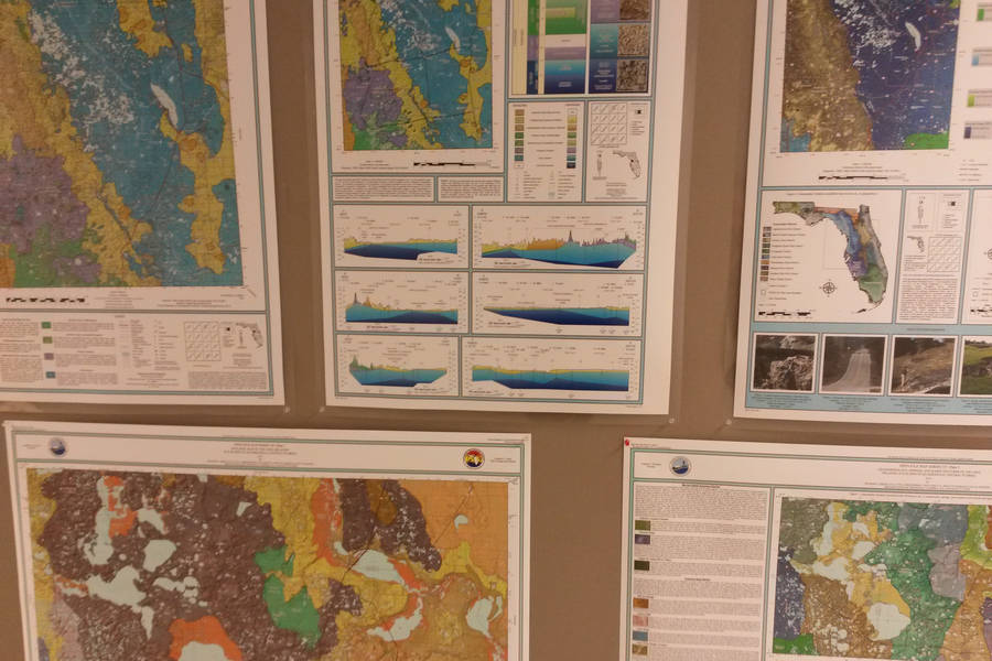
Map Series (MS) 6
This collection of 26 maps identifies locations of oil and gas wells. There are 14 regional maps, which generally cover USGS 250K quad areas, and 12 inset maps. The map series was last updated in 2002. For updated data, please contact the Oil and Gas Program.
Please use the following index to look up the corresponding OFMS Number and visit the Map Series 6 (complete) for a downloadable PDF of all 26 sheets in the series.
To view Oil and Gas well data go to the department's Map Direct page.
| MS# | Mapped Region |
|---|---|
| 6-01 | Pensacola |
| 6-02 | Tallahassee |
| 6-03 | Valdosta |
| 6-04 | Jacksonville |
| 6-05 | Apalachicola |
| 6-06 | Gainesville |
| 6-07 | Daytona Beach |
| 6-08 | Plant City |
| 6-09 | Orlando |
| 6-10 | Tampa |
| 6-11 | Fort Pierce |
| 6-12 | West Palm Beach |
| 6-13 | Miami |
| 6-14 | Key West |
| MS# | Mapped Region |
|---|---|
| 6-15 | Jay, Mt. Carmel |
| 6-16 | Blackjack Creek |
| 6-17 | Lehigh Park, Lake Trafford, Corkscrew |
| 6-18 | West Sunoco Felda, Mid Felda |
| 6-19 | Sunniland, Sunoco Felda, Townsend Canal |
| 6-20 | Seminole |
| 6-21 | Bear Island, Pepper Hammock |
| 6-22 | 40 Mile Bend |
| 6-23 | Sweetwater Creek, McClellan |
| 6-24 | Baxter Island |
| 6-25 | Racoon Point |
| 6-26 | Bluff Springs |
Last Modified: Monday, Jan 12, 2026 - 09:56am