
Coral Reef Decision Support System
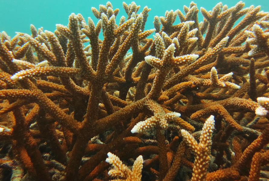
Florida’s Coral Reef (FCR) has experienced a series of widespread disturbances, including extreme temperature events and a lethal coral disease outbreak. The loss of coral cover across the reef has led to a large investment in management and restoration activities. In response, the Florida Fish & Wildlife Research Institute (FWRI), Nova Southeastern University (NSU), and The Spatial Collaborative led the development of the Coral Reef Decision Support System (CRDSS)—a modern, scalable, and interactive tool for coral reef conservation and restoration planning.
The CRDSS is built on the SeaSketch platform, a cloud-based system for spatial planning, which has been customized to support the selection, evaluation, and documentation of restoration sites across the full extent of Florida’s Coral Reef. The decision to base the tool on SeaSketch allowed for the rapid deployment of core GIS functionality and greater focus on the development of customized features. The platform equips managers, scientists, and practitioners with tools for data visualization, interactive filtering, sketch-based site planning, and automated reporting. These features collectively enable a rigorous and collaborative decision-making environment.
At the heart of the CRDSS is a high-resolution, hexagon-based planning grid (using Uber’s H3 spatial index), which supports real-time, sub-second analysis across 7.4 million planning units. A custom-built filtering engine, powered by the DuckDB analytical database, allows users to interactively explore and isolate potential restoration areas based on physical, ecological and human-use criteria. To support site-specific planning, CRDSS users can digitize restoration areas directly on the map. Each polygon is automatically analyzed against a suite of data layers, with tailored reports summarizing conditions such as depth, habitat type, and nearby human impacts. This process enables users to evaluate sites quickly and refine their plans based on immediate data-driven insights.
Extensive documentation and two rounds of user training ensured that staff from FWC, DEP, and NSU were empowered to manage the tool’s map layers, cartography, and metadata independently. Feedback from practitioners informed refinements to usability, metadata access, and analytical outputs. The project overcame substantial technical challenges during its first year, including the need to maintain responsiveness while querying millions of records, integrate live NOAA Coral Reef Watch data feeds, and adapt to user feedback. The open-source nature of the CRDSS architecture ensures transparency, future adaptability, and cost-effective enhancements.
Looking ahead, the CRDSS development team has identified several enhancements based on user feedback and technical assessments. Key recommendations include improving the analytical reports for coral restoration sites and developing tools to better support collaborative data management. Additional priorities involve enhancing satellite imagery options for better reef visualization and expanding tools for inspecting individual planning units. Opportunities may also be found for applying the CRDSS to new cases such as shoreline protection or construction permitting.
The CRDSS represents a significant advancement in Florida’s reef restoration toolkit and provides a foundation for more data-informed, transparent, and collaborative restoration strategies.
Interested in subscribing to DEP newsletters or receiving DEP updates through email?
Sign UpThe Florida Department of Environmental Protection is the state’s lead agency for environmental management and stewardship – protecting our air, water and land. The vision of the Florida Department of Environmental Protection is to create strong community partnerships, safeguard Florida’s natural resources and enhance its ecosystems.
Learn MoreTallahassee, Florida 32399-3000 Public.Services@FloridaDEP.gov 850-245-2118
