
Maps and Data
The FGS has a number of resources for geologic data and information. Please see below for links.
Florida Geologic Data
The Florida Geological Survey maintains multiple geologic collections including borehole samples, hand specimens and fossil specimens. Information and data about these collections are listed below.
Borehole and Sample Data

GEOlogic Data Enterprise System (GEODES)
Information about our borehole and hand specimen collections can be found in GEODES. This includes location information, sample availability and lithologic descriptions.
Florida Department of Environmental Protection Geospatial Open Data Portal
The FDEP geospatial portal contains over 250 geodata items that can be searched, explored and downloaded directly from the site. The FGS has submitted over 60 geodata items that can be searched and downloaded. FGS Data Downloads, FDEP Data Downloads
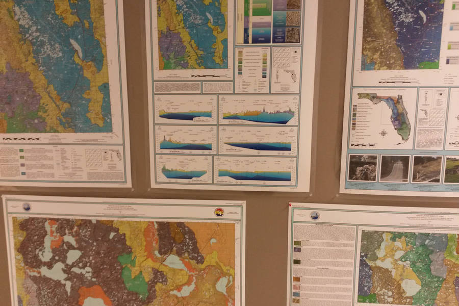
Geologic Documents
Publications and Library Information
Image

All FGS reports, contract deliverables and formally published publications can be accessed through our FGS Publications page.
Greenbooks
The greenbook collection is a compilation of 150 green 3-ring binders that are housed at the FGS. They include location information, drillers' logs, paleontology reports, and lithologic descriptions associated with the boreholes in our holdings and was our main source of data for nearly a century. A significant amount of the primary borehole data has been captured in GEODES; however, additional information exist in these books. Scans are now available via our Greenbook Index page.
Field Books
The Florida Geological Survey holds a collection of 300 historic field books, which contain historic information about Florida including topography, vegetation, and historic mining operations. The books also contain information about geologic sampling, drillers' logs, lithologic descriptions and laboratory notes. This collection is now scanned and available on our FGS Field Books page.
Interactive Data

Map Direct
Information associated with our geologic data is made available through our interactive Map Direct page. Additional focuses include: Subsidence Incidence Reports; Springs; Geomorphology, and Aquifer Vulnerability.
Geophysical Log Qlik Application
Use geophysical information portal application for accessing our collection of geophysical logs through the FGS Geophysical Log Lookup Qlik Application.
Statewide Map Products
On statewide map products page you will find unique interactive map products such as online and interactive maps covering topics like potentiometric surface modeling, STATEMAP, Florida’s geosites and a presentation on Florida’s geologic history, and a collection of Oil and Gas Maps.

External Data Sites (Federal, State, Private)
The Florida Geological Survey maintains a listing of useful external data sites categorized for content.
USGS Registry of Scientific Collections (ReSciColl)
The Registry of Scientific Collections (ReSciColl) part of ScienceBase and includes information about geologic collections from across the U.S. All metadata from projects funded by the USGS National Geological and Geophysical Data Preservation Program (NGGDPP) are available on this site.
Interested in subscribing to DEP newsletters or receiving DEP updates through email?
Sign UpThe Florida Department of Environmental Protection is the state’s lead agency for environmental management and stewardship – protecting our air, water and land. The vision of the Florida Department of Environmental Protection is to create strong community partnerships, safeguard Florida’s natural resources and enhance its ecosystems.
Learn MoreTallahassee, Florida 32399-3000 Public.Services@FloridaDEP.gov 850-245-2118
