

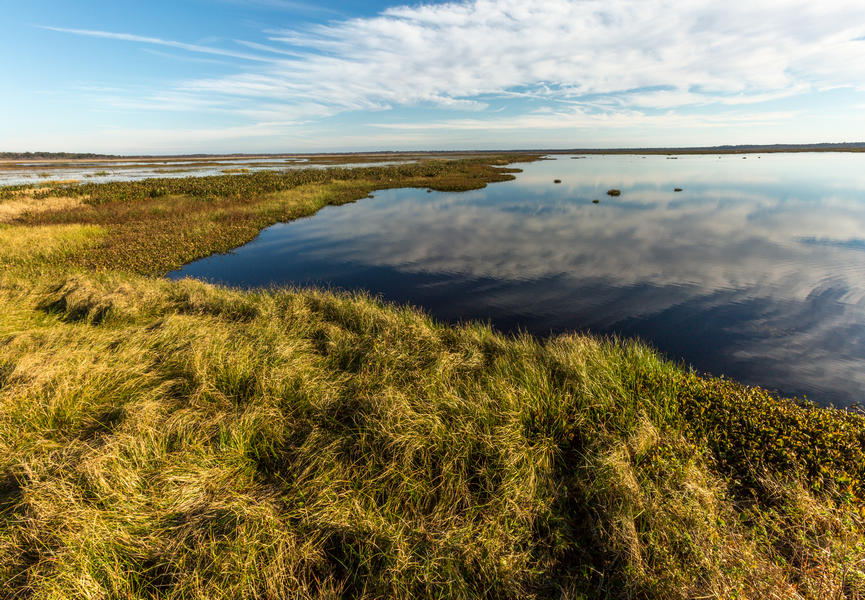
The Florida Hydrography Dataset (FHD) is a comprehensive set of digital spatial data distributed in an ESRI geodatabase that represents the surface water of the United States. Polygons are used to represent areal features such as lakes, ponds and rivers, while lines are used to represent linear features such as streams, canals and smaller rivers, and finally points are used to represent point features such as stream gages and dams.
The FHD has several features that make it unique to use as a hydrographic layer:
The Watershed Boundary Dataset
The USGS Watershed Boundary Dataset (WBD) is a companion dataset to the FHD. The WBD defines the perimeter of drainage areas formed by the terrain and other landscape characteristics. The drainage areas are nested within each other such that a very large drainage area, such as the St. Johns River, will be composed of multiple smaller drainage areas. Each of these smaller areas can further be subdivided into smaller and smaller drainage areas.
The WBD uses six different levels in this hierarchy with the smallest averaging about 30,000 acres in size. Each boundary consists of unique identifiers of a series of two digits known as a Hydrologic Unit Code (HUC).
WBD polygons levels
Level | WBD Name | Other Common Names | Example HUC |
|---|---|---|---|
1 | Region | HU2 | 3 |
2 | Subregion | HU4 | 308 |
3 | Basin | HU6 | 30802 |
4 | Subbasin | HU8 | 3080201 |
5 | Watershed | HU10 | 308020105 |
6 | Subwatershed | HU12 | 30802010509 |
Using the Data
FHD and WBD data are designed to be used in general mapping and in the analysis of surface water systems using geographic information system (GIS) technology. In mapping, the FHD is used with other themes of data such as elevation, boundaries, and transportation to produce general reference maps. These maps can also be customized to meet the specific needs of the user by emphasizing certain aspects of the data such as the WBD.
In the analysis of surface water, scientists use the FHD and WBD by applying GIS technology. This takes advantage of a rich set of embedded attributes that can be processed by a computer system to generate specialized information. This information then can be portrayed in specialized maps to better understand the results.
These analyses of hydrography are largely possible because the FHD contains the flow direction network. It also uses an addressing system to provide specific information about the water such as water discharge, water quality and fish population. Using the basic water features, flow network, linked information and other characteristics, it is possible to study cause and effect relationships, such as how a source of poor water quality upstream might affect a fish population downstream. The WBD plays an important role in this analysis by outlining the area on the landscape that drains into the flow network defined by the FHD.
The Florida Department of Environmental Protection (DEP) FHD and the USGS WBD programs of data stewardship are designed to improve upon the existing FHD and WBD to keep them continuously up to date by available means.
In maintaining the FHD, DEP uses the most current available aerial imagery that has been ortho-rectified, digital elevation models, local GIS layers concerning water and water distribution (as available), and information from local hydrologists and experts in the water systems. This ensures that the FHD is accurate, current, and meets the objectives of users.
Data Availability
The FHD can be downloaded from the DEP open data portal.
The WBD can be accessed from the USGS NHD website.
History, Data Stewardship, and Future of the FHD
The USGS National Hydrography Dataset (NHD), the Florida NHD (precursor to the FHD) and the WBD were created through joint coordination efforts among federal, state, and local agencies.
The Florida NHD started as a combination of the USGS Digital Line Graph (DLG) data for the 7.5-minute quarter quadrangles (1:24,000 or 1:25,000 map scale) combined with the information contained in the Environmental Protection Agency’s Reach File 3 (RF-3). In Florida, the effort to get the WBD up to the fifth and sixth levels was a combination of reviews and approvals at the federal, state, regional and local agency level. These datasets are dynamic, and change is inevitable for some areas with urban development, after-effects of hurricanes and other instabilities in the natural order; therefore, these datasets represent a snapshot in time of the conditions during that time.
Because of the dynamic nature of these datasets, federal agencies rely on a program of data stewardship among interested stakeholders, such as DEP.
The DEP Division of Environmental Assessment and Restoration (DEAR) recognized the need for better spatial information on surface waters and in an agreement with the USGS assumed the data stewardship for these data in Florida. Through this stewardship, DEAR updates all surface water features in the FHD (formerly the Florida NHD) for features that fall within the boundaries of Florida, with primary concentration being applied to streams, rivers, lakes, ponds and reservoirs.
In 2022, the USGS announced a plan to update surface water hydrography for the continental United States based on a process of deriving hydrographic features from elevation data, to produce a 3D Hydrographic Product (3DHP). At the same time, the USGS also announced the end of updates to the NHD product, which in turn meant the end of updates to the Florida NHD (the Florida NHD is a part of the NHD). This was so the USGS hydrography team could focus fully on 3DHP development. However, making the NHD static would have created a gap in surface water data updates for several years until a 3DHP product was available for Florida. To provide continued hydrography coverage to DEP, DEAR and the public, DEAR created and continues to update a standalone FHD until 3DHP is available for Florida. To maintain compatibility with the original USGS NHD database, the FHD uses the same schema that the original NHD used.
Moving forward, as the FHD data steward for Florida, DEP DEAR will keep abreast of the development of the USGS 3DHP.
Additional Links
The content on the Florida Department of Environmental Protection's (DEP's) website was written and published in English, and English is the sole authoritative language for all such content. As an aid to site visitors who might benefit from multiple language options, the website offers an automated translation feature for browser content in the footer. The translation link will not convert attached or linked files, such as PDFs.
The website translation feature uses Gtranslate® (https://www.drupal.org/project/gtranslate). Gtranslate® is a third-party tool which is not owned, maintained, modified, or controlled in any way by DEP, and which is not endorsed by DEP as preferable to either human-generated translations, or any other automated translation options.
Translation is a nuanced and complex activity and computer-generated translations cannot be expected to be perfectly accurate. Automated translations of this site are not reviewed in advance by DEP and could convey incorrect or offensive language. DEP disclaims any liability for errors, omissions, or interpretive inconsistencies arising in the context of such translation. Site users assume all risk in using translated text. DEP is not responsible for any loss, damage, or harm resulting from reliance on translated text. Use of the translation tool in this website implies understanding and agreement with this assumption and disclaimer.