Page Banner

Southwest Florida's Gulf Coast

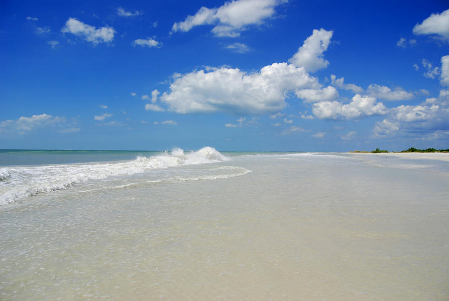
This part of Florida's Gulf Coast is fringed by bays and inlets, low-energy expansive shallow salt marshes, creeks, mangrove swamps and barrier islands with miles of the whitest sand beaches found anywhere. Ideal for canoeing and kayaking, several Florida rivers empty into the Gulf of Mexico, the ninth largest body of water in the world and one of its most productive fisheries.

Ten counties range from largely undeveloped Hernando through the urban areas of Pasco, Hillsborough, Manatee, Sarasota, Charlotte and Lee to the vast conservation areas of the Big Cypress Swamp and Everglades in Collier and Monroe.

At Florida’s southernmost tip, the Florida Keys are surrounded by the Florida Keys National Marine Sanctuary and part of North America’s only living coral barrier reef. The keys offer excellent diving, snorkeling, sport-fishing, beautiful beaches and magnificent sunsets. The warm Gulf Stream, one of the strongest ocean currents in the world, originates in the Florida Straits (where many centuries-old ships are sunk) and flows to the Atlantic separating the Everglades, the Keys and Cuba.

Conservation areas along the southwest Gulf Coast include 15 aquatic preserves, 40 state parks, 14 national wildlife refuges, two national parks and the more than 110,000-acre Rookery Bay National Estuarine Research Reserve — one of the few remaining undisturbed mangrove estuaries in North America.


Southwest Florida Gulf Counties
Hernando, once thought to be the Garden of Eden with its wildlife, wetlands and abundant seafood, is still wilderness and one small sand beach on Pine Island. (More) Map
Pasco has an undeveloped shore of seagrass and salt marsh flanked by barrier islands and two sand beaches. Its largest coastal city is historic New Port Richey. (More) Map
Pinellas beaches are ranked as some of the best in the country. Urban communities (St. Petersburg and Clearwater) sprawl along its coast and barrier islands. (More) Map
Hillsborough, dominated by the city of Tampa, has one sandy gulf-front beach on Egmont Key, accessible by boat. (More) Map
Manatee's mainland coast is dense with seagrass and mangroves. Its barrier islands, Anna Maria Island and Longboat Key, have 27 miles of continuous white-sand beaches. (More) Map
Sarasota is a blend of busy cities (Sarasota and Venice) and five very different barrier islands with white sand beaches. (More) Map
Charlotte's coast is a diverse mixture of small cities (Port Charlotte and Punta Gorda), aquatic preserves, and state park barrier islands lined with sandy beaches. (More) Map
Lee's beaches are on barrier islands popular for shelling, fishing and wildlife. It is one of southwest Florida’s most populated counties with the cities of Fort Myers and Cape Coral. (More) Map
Collier's miles of sparkling white sand beaches stretch from undeveloped Barefoot Beach Preserve barrier island to busy Marco Island near Big Cypress National Preserve. (More) Map
Monroe is a mixture of two extremes — from the virtually uninhabited mainland Everglades, to the bustling Florida Keys with popular Key West. (More) Map
Last Modified:
September 20, 2023 - 3:15pm

Some content on this site is saved in an alternative format. The following icons link to free Reader/Viewer software:
PDF: | Word: | Excel: