
Torreya Formation

Torreya Formation
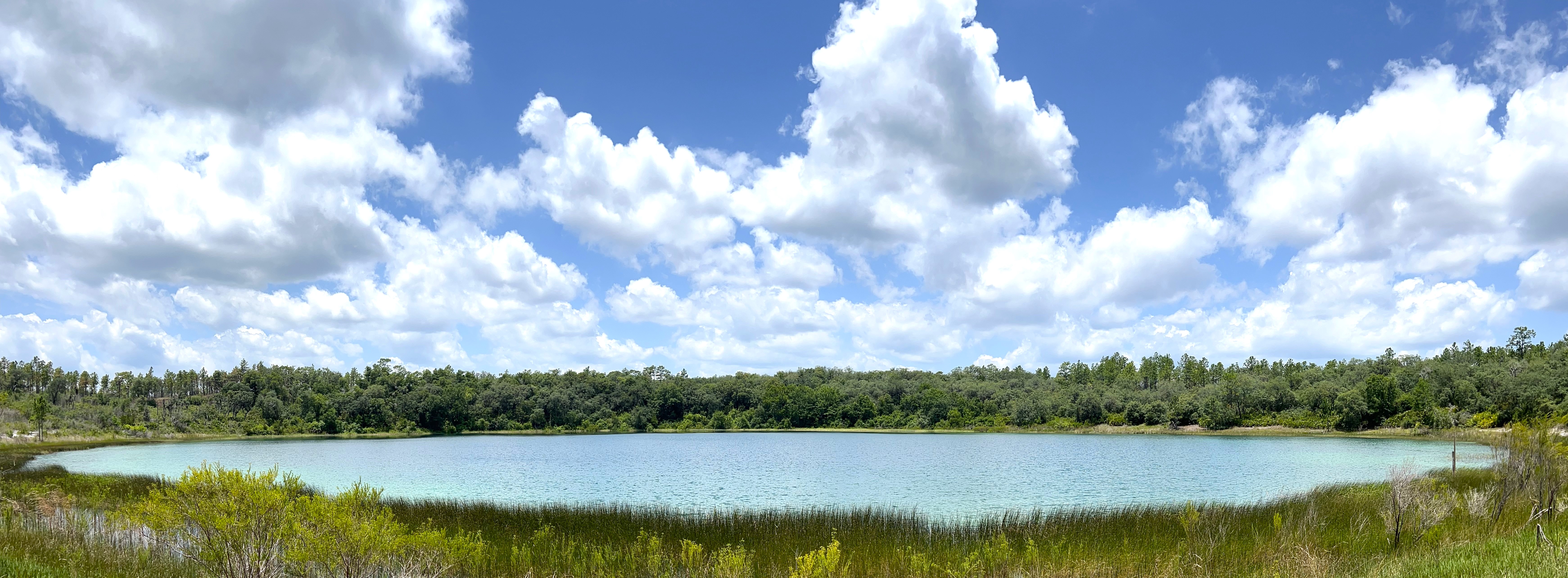
The Torreya Formation was deposited between 15 and 19 million years ago in the early Miocene Epoch when sea level was high enough to cover much of Florida. The Torreya Formation is exposed at or near land surface from western Gadsden County eastward to the western-most portion of Hamilton County. One of the best places to observe the Torreya Formation is along the Apalachicola River at Torreya State Park. Much of the park is adjacent to the Apalachicola River, which cuts through and exposes the underlying geology.
The Torreya Formation is a geologic formation within the Hawthorn Group. It is typically a siliciclastic unit with increasing carbonate content in the lower portion, particularly in the vicinity of the Gulf Trough (Scott, 1988).The upper siliciclastic portion is the dominant lithology exposed at land surface. It contains some fossils and varies from white to light olive gray, unconsolidated to poorly consolidated slightly clayey and phosphatic quartz sand to a light to bluish gray, silty clay. The lower carbonate unit consists of white to olive gray, poorly consolidated, variably sandy and clayey, slightly phosphatic, fossiliferous limestone.
The Torreya Formation is subdivided into two members: the Dogtown Member and the Sopchoppy Member. The Dogtown Member is comprised primarily of clay. It is the geologic unit that contains commercial deposits of fuller’s earth that is used in the manufacture of kitty litter and other products. The Sopchoppy Member is a sandy limestone unit exposed along parts of the Sopchoppy River in Wakulla County. Both members occur over a limited area.
Formations are layers of rock or sediment that are defined by their lithologic components and their stratigraphic relationships. They are the basic units of stratigraphy and are represented on geologic maps. When geologists name a new formation, they also designate a place where other geologists can go and see an example of the formation. These places are called “type sections.” The type section for the Torreya Formation is Rock Bluff, a steep, tall, limestone bluff within Torreya State Park (pictured to the right). Rock Bluff has been exposed by the erosional activity of this large river. As the river moves across the landscape, it erodes the underlying rocks creating the broad valley it occupies, called a floodplain. Rock Bluff is located at the eastern edge of the Apalachicola River floodplain and is one of Florida’s tallest natural geologic exposures of rock and sediment. When strata are exposed at land surface, the area is known to geologists as an outcrop. At 100 feet tall, the outcrop of the Torreya Formation lower carbonate at Rock Bluff is among the best in Florida.
Evidence that the Torreya Formation was deposited during the early Miocene can be found in the numerous casts and molds of marine animals like clams, oysters, and snails that are preserved in the limestone. These fossils can be seen at Rock Bluff in the exposed limestone when the river level is low enough.