Florida Springs
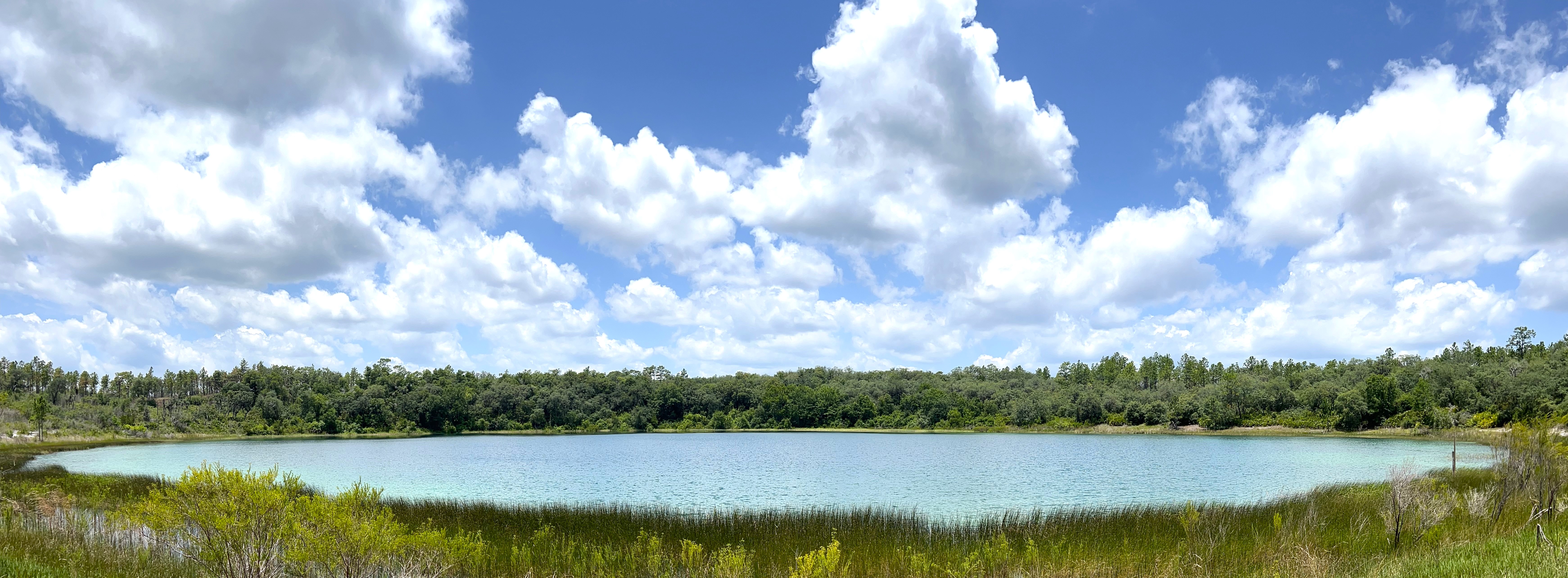
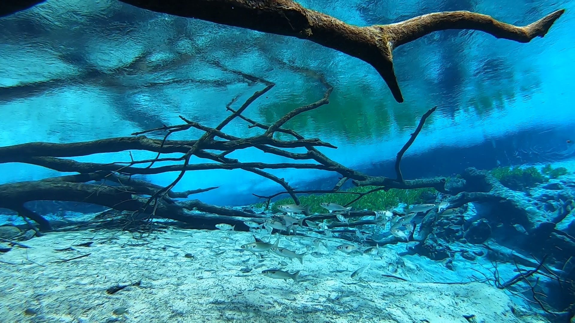
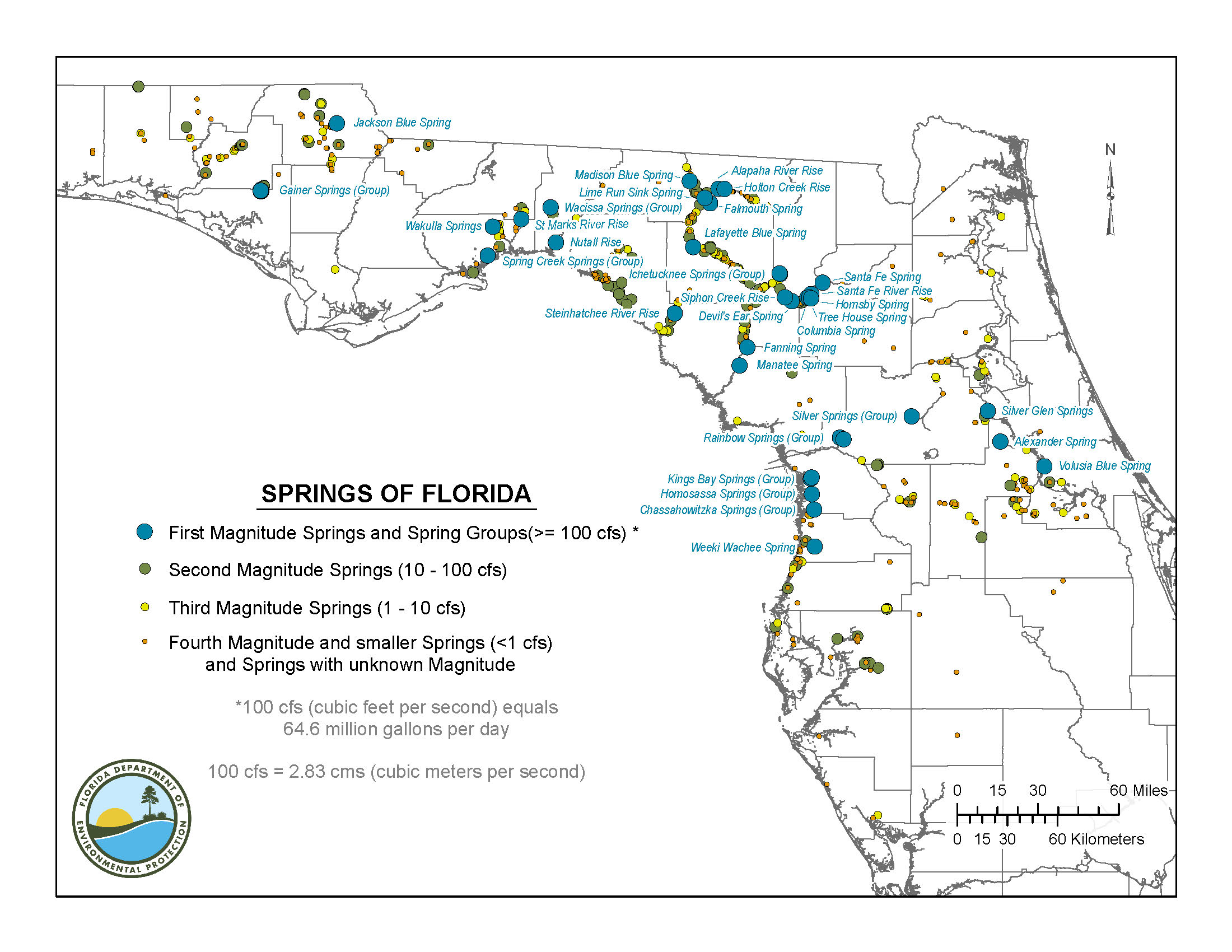
Springs are some of Florida’s most outstanding and popular natural resources. There are more than 1,000 recognized in Florida and no two are alike. In fact, Edward Ball Wakulla Springs State Park is home to Wakulla Springs one of the largest and deepest freshwater springs in the world. The spring that feeds this popular swimming hole approaches a water depth of about 185 feet at the vent and provides access to the longest mapped underwater cave system in the United States.
Springs are points where groundwater discharge occurs at natural openings called vents. Where groundwater is under artesian pressure, it can forcefully flow out onto Earth’s surface creating a spring. Springs are often classified in terms of magnitude, which is a measure of the amount of water the spring or springs group discharges. If the discharge is great enough, the spring can establish a pool or run. Springs can occur in isolated settings, feed into nearby creeks and rivers, and occur both on land and submerged offshore along the coastline. They often emit fresh groundwater, but saline water can also discharge from springs which largely depends on geographic location, proximity to the coastline, and local hydrogeologic conditions.
Springs and spring-fed rivers support the local ecology, provide ample opportunity for recreation to the visitors and residents of Florida and provide a critical resource to citizens that rely on them. Springs are important windows into the environmental health and welfare of the state's abundant, yet vulnerable, water resources. Groundwater discharging from springs can directly inform us of the state of this natural resource. Since more than 90% of Floridians drink groundwater, the quality of spring water is a reflection of the quality of our drinking water. Therefore, it is important for scientists, stakeholders, resource managers, regulators, and policymakers to work together to protect and conserve our valuable spring resources.
The Florida Geological Survey manages the Department of Environmental Protection’s springs dataset. Our goal is to provide the most accurate, comprehensive, and up to date list of springs, including unique geographic location information and select characteristics. The Florida Geological Survey is actively working to verify the location of recorded and newly reported springs through collaboration with other parts of DEP, Florida’s water management districts, and other state and federal agencies.
To report a new spring, please contact Mary Beth Lupo and Jade Greene.
There are two ways to access our springs data set. Please visit the DEP Open Data Portal where you can download and view the data directly or you may view it through the Map Direct viewer.
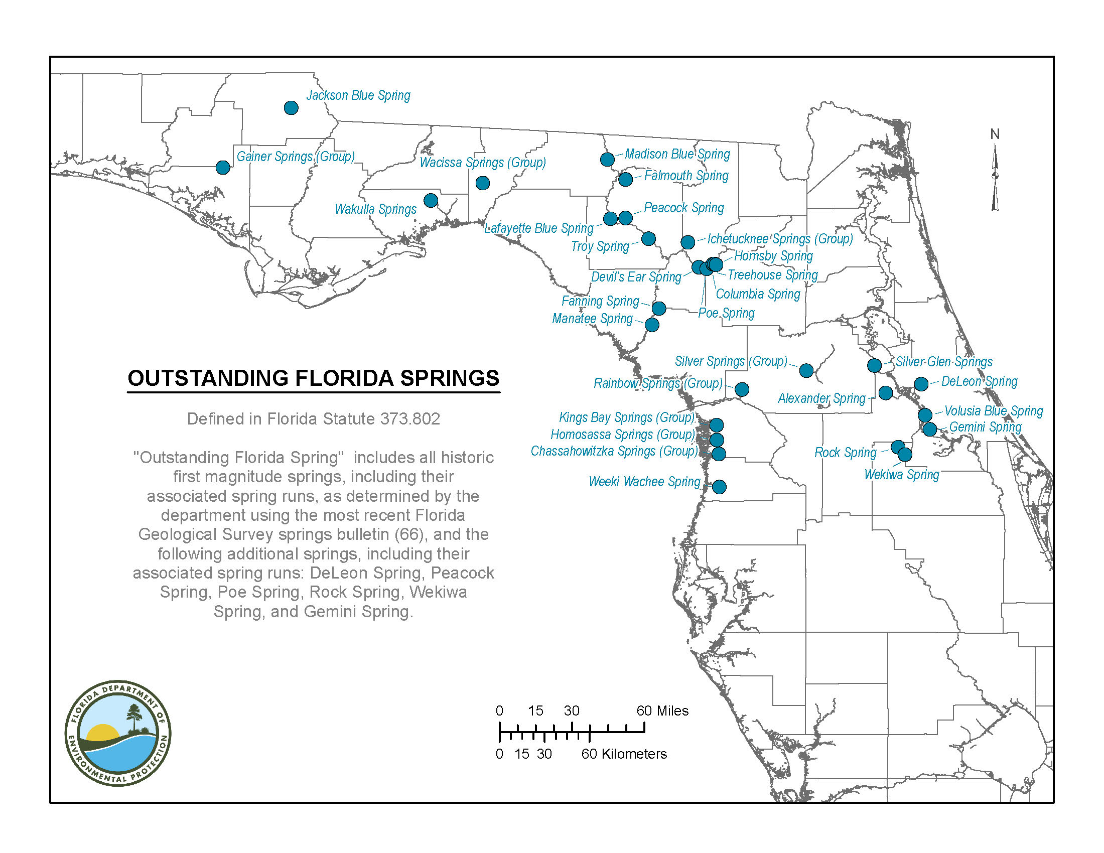
In 2016 Bill 552 was introduced to the Florida Senate. This bill initiated the “Florida Springs and Aquifer Protection Act” and the “Outstanding Florida Springs” designation. This special designation is defined by the Florida legislation and includes all historic first magnitude springs and 7 additional springs directly named within the statute.
To read more about the Florida Springs and Aquifer Protection Act, see Florida Statute 373.
For Outstanding Florida Springs see Florida Statute 373.802.
FGS offers several additional springs resources which include a few of our publications highlighted below. Additional information and photos are available on our Resource Space. This information can also be requested through our FGS Library and Archivist Kathryn Etheridge.
Highlighted FGS Springs Publications:
Several State of Florida agencies work together on environmental interests, specifically springs. These agencies and their website are linked below.
Florida Department of Environmental Protection – Springs Programs
Northwest Florida Water Management District – Water Resources
Suwannee River Water Management District – Springs and Recreation
Southwest Florida Water Management District – Springs
St. Johns River Water Management District – Springs


