
Florida Coastal Access Guide

Home Find an Access Panhandle SW Florida Gulf Atlantic Resources
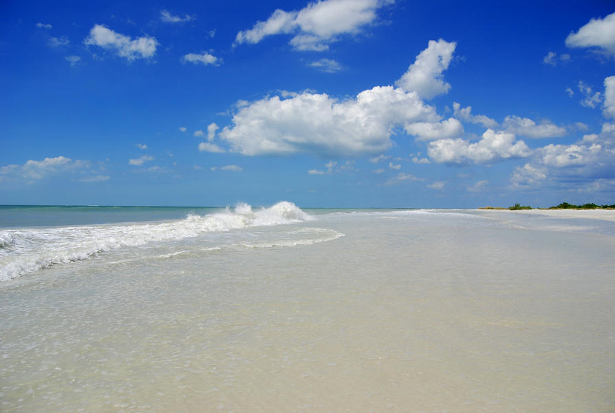
Florida's 825 miles of sandy beaches are a national treasure, here for you to enjoy. Whether quiet and secluded or bustling with activity, Florida beaches are renowned for their beauty, accessibility, facilities, year round sunshine, glittering white sand and sparkling waters. Florida's coast offers a variety of natural habitats – sand dunes, salt marshes, wild mangrove-filled islands and spectacular coral reefs – as well as historical sites, state parks, fishing communities, yacht-lined marinas and urban centers.
The Florida Coastal Management Program has pinpointed public coastal accesses along the entire Florida coast from the Gulf of America to the Atlantic Ocean for this online Coastal Access Guide. Visitors can choose the access that best matches their interests and needs. The guide provides an interactive map and detailed information about each access–parking, accessibility, facilities, shelters, picnic areas, boardwalks, camping, boat ramps, food nearby or on site and fees.
An interactive map displays access points and allows you to zoom in and out for varying perspectives. Links to relevant information and resources are sprinkled throughout the guide.
We invite you to explore Florida's coast!
The Coastal Access Guide is organized into three coastal regions:
| The Florida Panhandle | The Southwest Florida Gulf | The Atlantic Ocean |
|---|
