
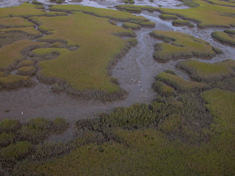
Mapping and Monitoring Seagrass Communities

The Office of Resilience and Coastal Protection is mapping and monitoring seagrass communities in several locations around the state. Different types of remote sensing, such as drones, high resolution satellite imagery, hyperspectral imagery, or LiDAR, can be used to create baseline maps over large areas. These maps can be used to determine seagrass density, coverage, species and prop scar damage. They can also be used to determine changes in each of the above parameters from maps generated from earlier images.
Elsewhere in the state, the Coral Reef Conservation Program conducted benthic habitat mapping in northern Miami-Dade County. This effort was led by Nova Southeastern University Oceanographic Center National Coral Reef Institute with funding from NOAA, DEP and FWRI. The benthic habitat mapping efforts employed a combined-technique approach combining several types of imagery and ground-truthing. Of the 240.31 km2 mapped, the polygon totals indicated 16.55 percent was seagrass. Notable was south of Government Cut, which showed a wide area of extensive seagrass beds dominated by turtlegrass (Thalassia testudinum).
Big Bend Seagrasses Aquatic Preserve has produced baseline seagrass and submerged resource maps for Taylor County. Terra Ceia Aquatic Preserve has also conducted photo interpretation in four-year intervals.
This large-scale mapping is complemented by ground-truthing in several aquatic preserves, including St. Martins Marsh Aquatic Preserve, St. Andrews Aquatic Preserve, St. Joseph Bay Aquatic Preserve, Alligator Harbor Aquatic Preserve, Estero Bay Aquatic Preserve, and the Charlotte Harbor Aquatic Preserves. Annual and biannual monitoring is conducted at the same stations within each aquatic preserve. Measurements of species composition, percent coverage, blade length, shoot density, water depth, sediment, and epiphyte load are taken at each station.
Interested in subscribing to DEP newsletters or receiving DEP updates through email?
Sign UpThe Florida Department of Environmental Protection is the state’s lead agency for environmental management and stewardship – protecting our air, water and land. The vision of the Florida Department of Environmental Protection is to create strong community partnerships, safeguard Florida’s natural resources and enhance its ecosystems.
Learn MoreTallahassee, Florida 32399-3000 Public.Services@FloridaDEP.gov 850-245-2118
