


Coastal Adaptation & Resilience Tools Initiative
As coastal communities plan for the future, they need tools and data to help make the best decisions for their residents along with preserving investments in infrastructure and development. Resilient Florida staff are engaging local communities through the Coastal Adaptation & Resilience Tools (CART) Initiative.
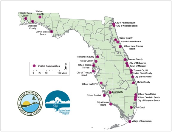
The CART Initiative demonstrates online, web browser-based, coastal flood mapping tools from a variety of agencies. The effort focuses on in-person meetings with local government staff, during which staff demonstrate the tools in a way that is most relevant to that community's needs. Smaller communities are the priority, as they may not have the staff time or resources to attend larger workshops where these tools are demonstrated, but all communities are welcome.
The goal of CART is to increase local government awareness of and expertise with online, web-based coastal resilience tools and resources for assessing vulnerabilities, adaptation planning and outreach purposes.
Contact Information
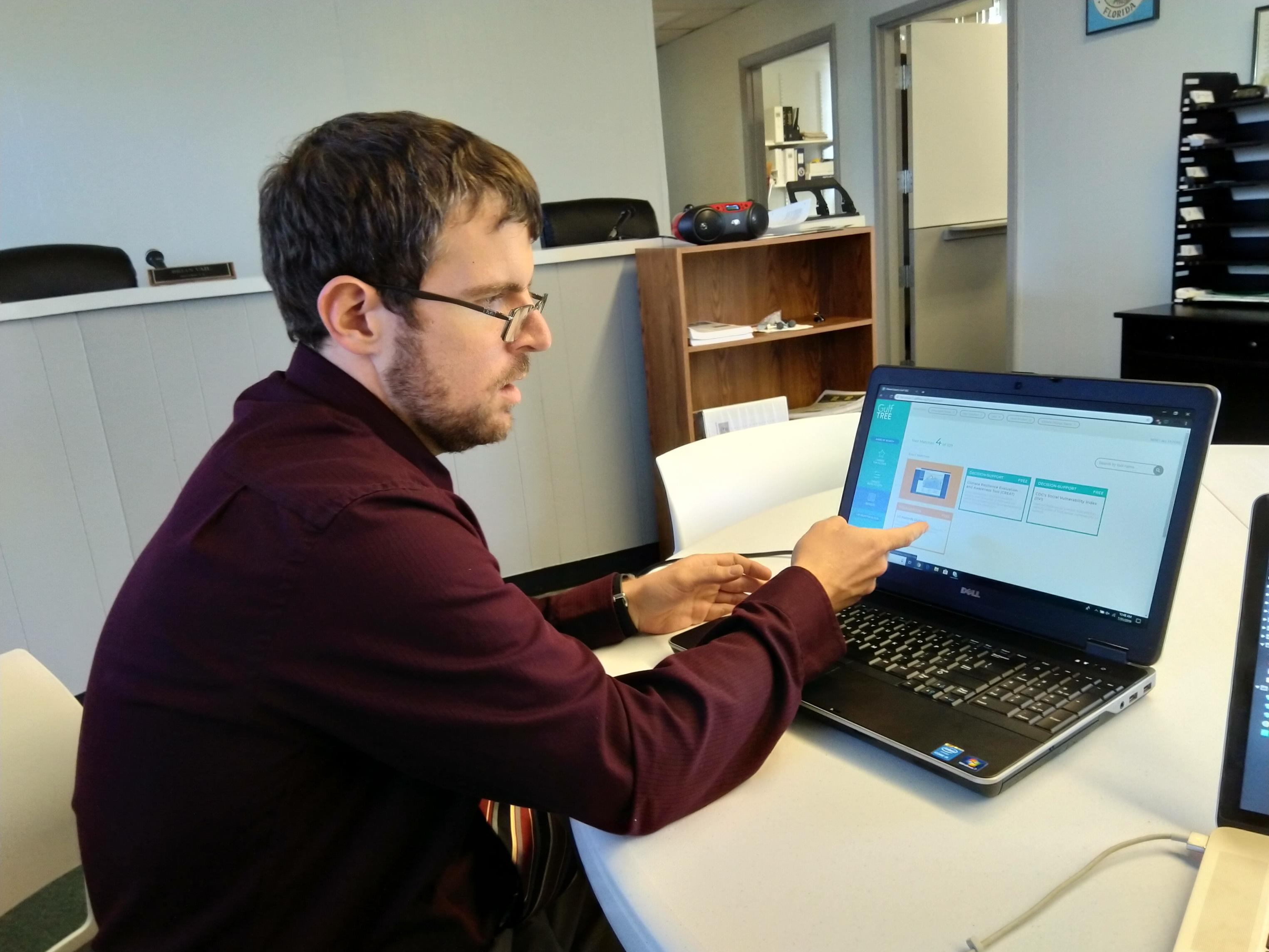
If you are interested in learning more about the CART Initiative, please contact:
What's in the CART?
Some of the tools demonstrated as part of the CART Initiative include:
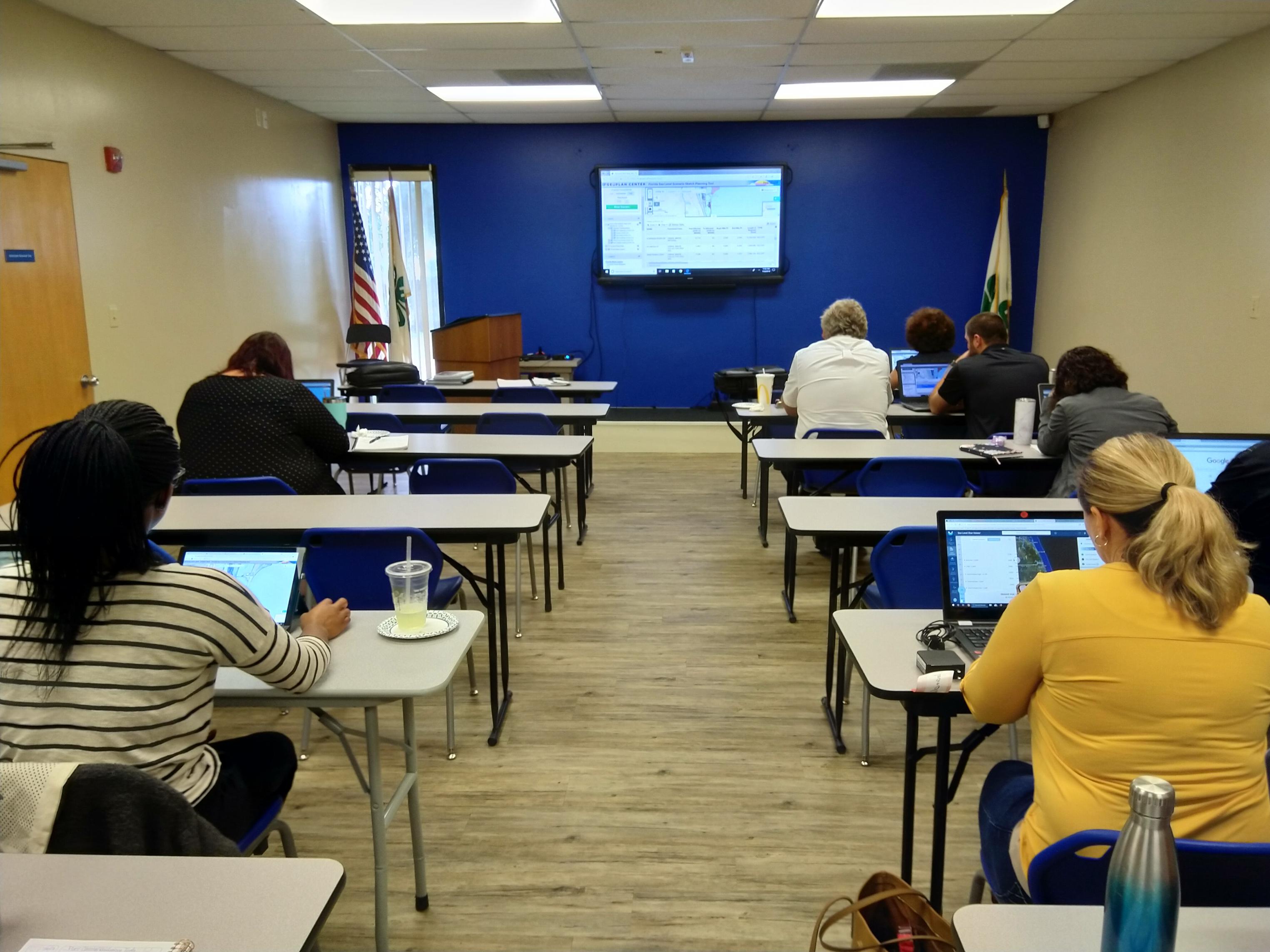
- NOAA Coastal Flood Exposure Mapper - Online visualization tool that supports communities by assessing their risks to multiple coastal flooding hazards.
- NOAA Sea Level Rise Viewer - Visualization tool to view community impacts of sea level rise of up to 10 feet.
- University of Florida GeoPlan Center/FDOT Sea Level Scenario Sketch Planning Tool - Tool helps identify transportation infrastructure vulnerable to coastal flooding.
- GulfTREE - Decision support tool to help identify climate tools that fit the user's needs.