

Basin Management Action Plans (BMAPs)
What is a Basin Management Action Plan?
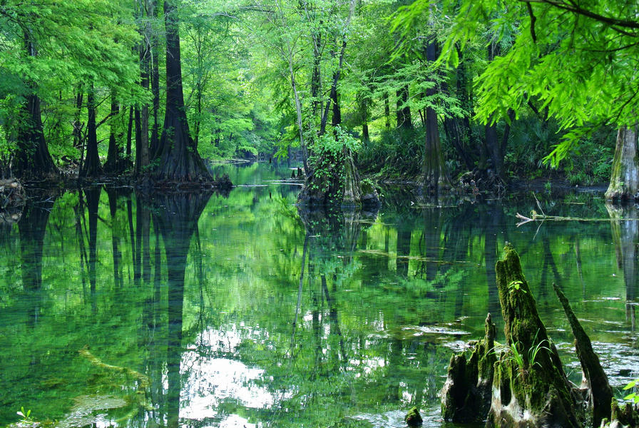
A BMAP is a framework for water quality restoration that contains a comprehensive set of solutions to achieve the pollutant reductions established by a TMDL. Examples include permit limits on regulated facilities, urban and agricultural best management practices, wastewater and stormwater infrastructure, regional projects and conservation programs designed to achieve pollutant reductions established by a TMDL. A BMAP is developed with local stakeholders and relies on local input and commitment for successful implementation. BMAPs are adopted by Secretarial Order and are legally enforceable. BMAPs use an adaptive management approach that allows for incremental load reductions through the implementation of projects and management strategies, while simultaneously monitoring and conducting studies to better understand the water quality and hydrologic dynamics. Progress is tracked by assessing project implementation and water quality analyses. DEP continues to work with local and regional partners to identify additional projects necessary to meet reduction milestones to achieve the TMDLs and inform funding priorities.
Please visit the BMAP Public Meeting Calendar to find out about upcoming meetings and subscribe to meeting notices.
All BMAP Documents | NEEPP BMAPs | Springs BMAPS |
|---|---|---|
Image
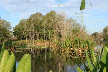
A BMAP is a framework for water quality restoration that contains a comprehensive set of solutions to achieve the pollutant reductions established by a TMDL.
| Image
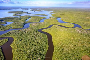
The Northern Everglades watersheds include the Lake Okeechobee watershed and the Caloosahatchee and St. Lucie River watersheds and estuaries.
| Image
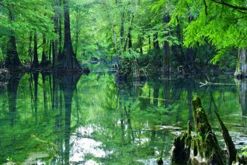
Springs BMAPs identify the sources of nutrient pollution, list the specific projects and programs necessary to reduce nutrient pollution, and establish priority focus areas where statutory prohibitions on certain activities apply.
|
NutrientBMAPs | Indian River LagoonBMAPs | Fecal Indicator |
|---|---|---|
Image

Nutrient BMAPs contain a comprehensive set of solutions, such as permit limits on wastewater facilities, urban and agricultural best management practices designed to achieve pollutant reductions established by a TMDL. | Image

The Indian River Lagoon (IRL) is a 156-mile-long estuary along Florida’s east coast. The impaired portions of the IRL are directly adjacent to lands in only Volusia, Brevard, Indian River, and St. Lucie counties.
| Image
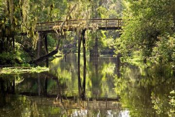
Bacteria BMAPs include management strategies or projects, to be implemented by local stakeholders, that aim to eliminate and prevent the release of waste, containing pathogens, to natural waterbodies.
|
For more information on the development of BMAPs, please email Moira Homann at Moira.Homann@FloridaDEP.gov
If you are interested in subscribing to updates for BMAP Meeting Notifications, visit the subscription page.
2600 Blair Stone Road, MS 3565
Tallahassee, FL 32399-2400