
Aquifer Studies

Identification and mapping of permeable zones and confining units; characterization of aquifer system geophysical and hydraulic properties (including permeability, transmissivity, fluid resistivity and temperature); establishing relationships between geologic units and aquifer systems through cross sections and contour maps; and providing knowledge of the hydrogeologic framework and potential vulnerabilities to facilitate source-water protection, improve placement of injection well site locations, and develop guidelines for design and monitoring plans. Current FGS projects in this research area include:
Potentiometric Surface Mapping
Contact: Gary Fowler
The potentiometric surface is an imaginary surface to which water will rise in tightly cased wells penetrating the aquifer (Lohman, 1979). The upper Floridan aquifer (UFA) can be under either confined or unconfined conditions. In an unconfined aquifer, the potentiometric surface is at atmospheric pressure and is equivalent to a water table aquifer. In a confined aquifer, the potentiometric surface is under hydrostatic pressure and the water level in wells that tap the UFA will rise above the water bearing formation.
Using water level measurements obtained from wells around the state, lines of equal altitude can be constructed to represent an estimate of the potentiometric surface. These maps are a snap shot in time, but they can be used to indicate regional groundwater flow direction, identify recharge and discharge areas, to calculate hydraulic gradients, to identify water level trends over time and to analyze changes in water level due to groundwater extraction and changes in weather patterns.
In late 2013, the FGS in cooperation with Florida’s water management districts, reestablished a program to start developing statewide potentiometric surface maps of the UFA on a semiannual basis (May and September). A network of approximately 1,100 wells has been compiled from Florida’s five water management districts, Alachua County Environmental Protection Department, the Geological Survey of Alabama and the U.S. Geological Survey.
The first map in the series was created for May 2012 and can be found on the Florida Department of Environmental Protection’s ArcGIS online site as an interactive map and in the DEP GeoData directory where it is available for download.
References: Lohman, S.W., 1979, Ground-water hydraulics: U.S. Geological Survey Professional Paper 708, 72p.
Cooperative Agreements to Support Water Management Districts
Contact: Casey Albritton or Benjamin Davis
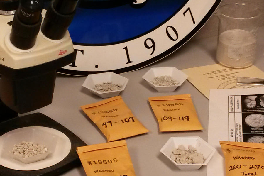
The Florida Geological Survey provides support to Water Management Districts (WMDs) throughout the state though a number of cooperative agreements. Through these agreements, staff describe cores and cuttings, both recently acquired and those archived in the FGS Sample Collections Facility to supporting lithostratigraphic and hydrostratigraphic studies by the FGS and WMDs. Also part of those agreements, the WMDs provide financial support to help maintain the FGS’s Sample Collections Facility.
