
Karst Studies
Karst features are important in understanding surface water-groundwater interactions. Karst features include sinks, seeps, swallets and springs. Research in this area includes identifying recharge and discharge areas; investigating groundwater contribution to surface water via springs and seeps, including seepage of groundwater in coastal zones; support data collection and modeling efforts that address karst hydrogeologic settings; and quantify interactions for regulatory purposes.
Recent FGS projects in this research area include:
- Middle Suwannee Basin Spring Recharge Area Delineation.
- Alapaha River Swallets Dye Trace.
- FWC/DEP-FGS Big Bend Wildlife Management Areas Spring Inventory.
- Sinkhole Research.
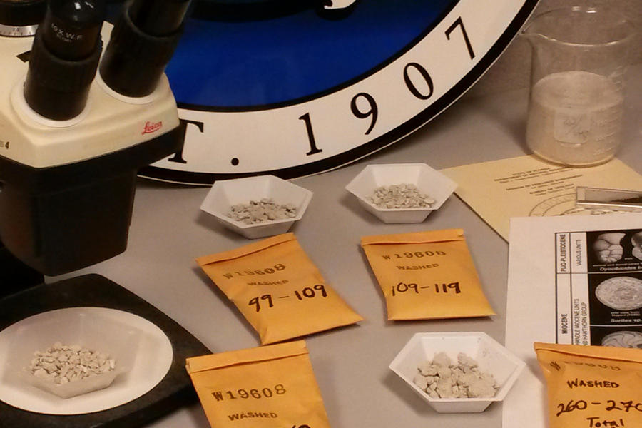
Middle Suwannee Basin Spring Recharge Area Delineation
Image

Contact: Scott Barrett Dyer
The study included performing dye traces at Falmouth Spring and in the Little River Trace and installing flowmeters in four springs. The dye tracing established conduit connections between Falmouth Spring and Ellaville, Suwannacoochee, Lime Springs and Lime Sink Run. The two dyes introduced into swallets in the Little River Trace established conduit connections between Mearson, Troy and Little River Springs. Both traces showed the Suwannee River is not a potentiometric divide.
Data from flowmeters in Lafayette Blue, Peacock III, Convict and Hornsby Springs documented spring reversals and siphoning of flow from Peacock I and II into Peacock III for periods of months in duration. From this study, potential areas of contribution to flow for the first-magnitude springs Falmouth, Lafayette Blue and Troy Springs, and second-magnitude Peacock and Little River Springs were generated.
The Florida Geological Survey provided a final report on this study to the Suwannee River Water Management District, and it is available upon request.
Alapaha River Swallets Dye Trace
Contact: Scott Barrett Dyer
During summer 2016, two dye traces were performed in the lower Alapaha River basin. Fluorescein (greenish-yellow) was introduced into Dead River Swallet and Rhodamine WT (red) was introduced into Tiger Creek Swallet. The dyes from both traces were detected at two common down-gradient sampling stations; the Alapaha Rise and the Holton Creek Rise. Analytical data established line of sight velocities from Dead River Swallet to Alapaha Rise and Holton Creek Rise of 2.47 mi/day and 1.23 mi/day respectively.
These concurrent traces revealed an interconnected conduit system in the Upper Floridan aquifer system in the Lower Alapaha River basin. The traces established the Dead River and Tiger Creek Swallets are both directly connected to Alapaha Rise and Holton Creek Rise. These traces demonstrated the highly transmissive characteristics of the unconfined shallow Upper Floridan aquifer system where enormous volumes of surface water and groundwater are readily exchanged at rapid velocities in short durations of time.
The Florida Geological Survey provided a final report on this study to the Suwannee River Water Management District, and it is available upon request.
FWC/FDEP-FGS Big Bend Wildlife Management Areas Spring Inventory
Image

Contact: Scott Barrett Dyer
In winter 2017 the Florida Geological Survey (FGS) conducted a springs inventory pilot project on the Spring Creek Unit of Florida Fish and Wildlife Conservation Commission’s (FWC) Big Bend Wildlife Management Area. “Points of Interest (POI)” were identified using thermal imagery and aerial photography from plane and drone. These technologies proved to be invaluable in reducing the extensive filed work in the wild and undeveloped coastal environment.
In total, 27 new springs and spring groups were cataloged on the Spring Creek Unit. At each spring location, a general description of the spring was made, its discharge was visually estimated, photographs were taken, and field observations surrounding the spring site were made. Field water quality parameters and water samples were obtained at eight springs.
The water quality data indicated that half the springs sampled have a saline influence and are discharging a mix of fresh and marine waters.
Based on observations made during the project, there are likely many springs that were not discovered due to difficultly of access and spring discharge fluctuations. The report for this study is available upon request.
Sinkhole Research
Sinkholes are a geological hazard that place people’s property and even lives at risk. Vulnerability of an area to sinkhole formation is dependent upon both natural (geologic, hydrologic and meteorologic) and human (water pumping, terraforming, ground loading) factors. As Florida’s population continues to surge, the potential for encountering a sinkhole hazard in areas with the favorable geology increases.
The Florida Geological Survey was contracted in 2013 by the Florida Division of Emergency Management to produce a map depicting the state’s vulnerability to sinkhole formation based on natural dynamics in Florida’s geology. The map was requested in the aftermath of a mass sinkhole event triggered by record rainfall from Tropical Storm Debby in June of 2012. Prior to Tropical Storm Debby’s record rainfall, the state had been experiencing a multiyear drought leading to reduced groundwater levels within the Floridan aquifer system.
The three-year project began with a pilot study in three northern Florida counties where various modeling and statistical methods could be tested prior to initiating a statewide approach. The study’s aim was to update the non-scientifically derived sinkhole maps that were utilized by the state’s emergency managers. A copy of the report is available online.
For more information about sinkholes and subsidence, visit our Sinkhole FAQs.
Interested in subscribing to DEP newsletters or receiving DEP updates through email?
Sign UpThe Florida Department of Environmental Protection is the state’s lead agency for environmental management and stewardship – protecting our air, water and land. The vision of the Florida Department of Environmental Protection is to create strong community partnerships, safeguard Florida’s natural resources and enhance its ecosystems.
Learn MoreTallahassee, Florida 32399-3000 Public.Services@FloridaDEP.gov 850-245-2118
