
Sinkhole Research
Sinkholes are a geological hazard that place people’s property and even lives at risk. Vulnerability of an area to sinkhole formation is dependent upon both natural (geologic, hydrologic, and meteorologic) and human (water pumping, terraforming, ground loading) factors. As Florida’s population continues to surge and development encroaches on vulnerable regions, the potential for encountering a sinkhole hazard in areas with favorable geology increases.
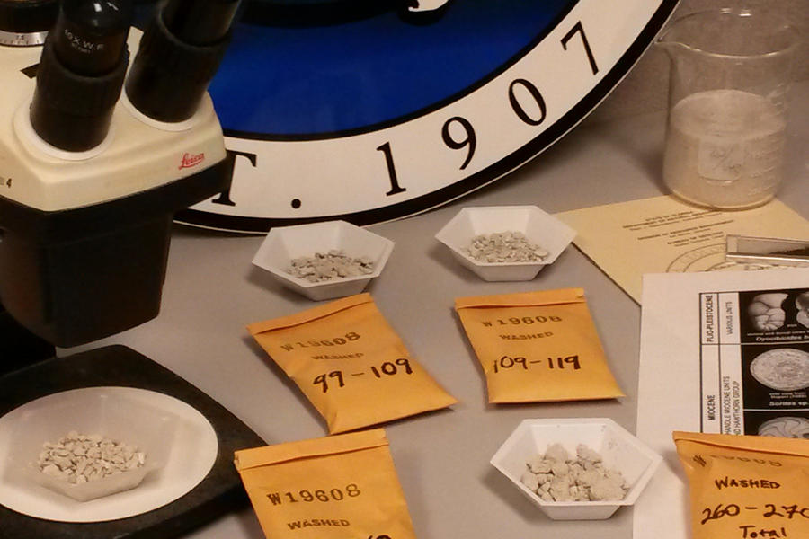
The Florida Geological Survey was contracted in 2013 by the Florida Division of Emergency Management to produce a map depicting the state’s vulnerability to sinkhole formation based on natural dynamics in Florida’s geology. The map was requested in the aftermath of a mass sinkhole event triggered by record rainfall from Tropical Storm Debby in June of 2012. Prior to Tropical Storm Debby’s record rainfall, the state had been experiencing a multiyear drought leading to reduced groundwater levels within the Floridan aquifer system. The three-year project began with a pilot study in three northern Florida counties where various modeling and statistical methods could be tested prior to initiating a statewide approach. The study’s aim was to update the non-scientifically derived sinkhole maps that were utilized by the state’s emergency managers. A PDF copy of the report is available online.
For more information about sinkholes and subsidence, visit our Sinkhole FAQ page.

For more information, contact:
Clint Kromhout
850-617-0332