Office of Resilience and Coastal Protection Programs
Aquatic Preserve Program
Florida has 43 aquatic preserves, encompassing 2.9 million acres, along Florida's coastline, except for four located inland near springs and rivers. All of these waters are ours to enjoy and protect.
Beach Survey Services
Maintains a statewide geodetic control network and surveys the coastline of Florida.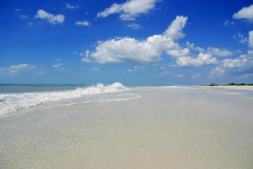
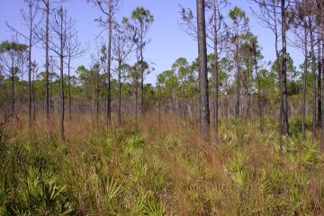
Beaches
Protect, restore and manage Florida's coastal systems and 825 miles of sandy coastline.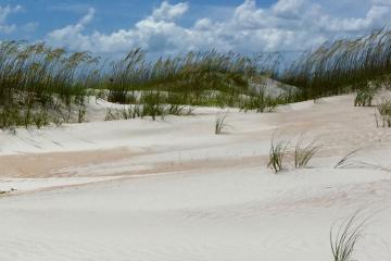
Beaches Funding Program
Grants to local governments for the planning and implementation of beach and inlet management projects.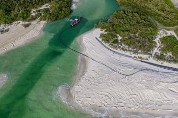
Beaches, Inlets and Ports Program
Manages permits for coastal construction seaward of the mean high water line as well as permits for activities such as pier construction and navigational dredging of deepwater ports and inlets.
Clean Boating Programs
Marina facilities voluntarily unite under the Florida Clean Marina Program and Clean Boating Program to implement environmental best management practices.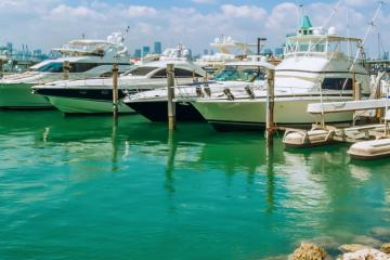
Clean Vessel Act Grant Program
Provides funding assistance for the purchase, installation and maintenance of pumpout equipment for marinas.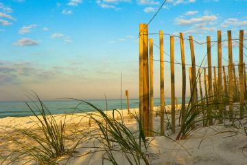
Coastal Construction Control Line Program
Protects coastal systems by regulating structures and activities that can cause beach erosion, destabilize dunes, damage upland properties, or interfere with public access.
Coastal Engineering and Geology Group
The Coastal Engineering and Geology Group (CEGG) provides technical expertise and assistance to the beach erosion control and regulatory programs of the Office of Resilience and Coastal Protection.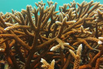
Coral Protection and Restoration Program
Supports the holistic management of Florida’s Coral Reef by providing leadership for coral reef initiatives and by effectively administering state funding for Florida’s Coral Reef priorities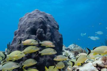
Coral Reef Conservation Program
Coordinates research and monitoring, develops management strategies, and promotes partnerships to protect the coral reefs, hard-bottom communities, and associated reef resources of southeast Florida.
Florida Coastal Access Guide
A guide to public coastal access points along the entire Florida coast from the Gulf of America to the Atlantic Ocean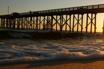
Florida Coastal Management Program
Coordinates local, state and federal agency activities using existing laws to protect coastal resources.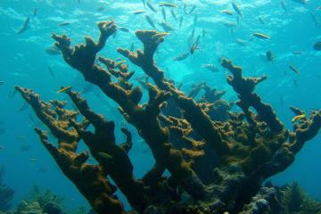
Florida Keys National Marine Sanctuary
Florida Keys National Marine Sanctuary protects 2,900 square nautical miles of waters surrounding the Florida Keys, from Biscayne Bay westward to the Dry Tortugas.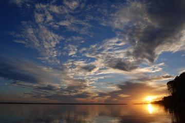
National Estuarine Research Reserves - Apalachicola
The research reserve includes the lower 52 miles of the Apalachicola River and floodplain as well as most of Apalachicola Bay.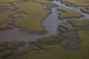
National Estuarine Research Reserves - Guana - Tolomato - Matanzas
The GTM Research Reserve protects 75,761 acres south of Jacksonville on Florida's northeast coast.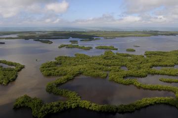
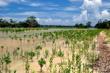
National Estuarine Research Reserves - Rookery Bay
Located at the northern end of the Ten Thousand Islands on the Gulf Coast of Florida, the research reserve includes one of the few remaining undisturbed mangrove estuaries in North America.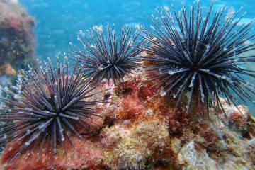
Outer Continental Shelf Program
DEP oversees activities in federal waters on the Outer Continental Shelf to ensure consistency with state laws and policies.
Resilient Florida Program
Updates: NEW! 2026 - 2027 Statewide Resilience Plan awards announced! NEW! Updated 62S-8 Program Guidance Manual now available! NEW! Updated Florida Adaptation Planning Guidebook now available! Access the Combined Statewide Vulnerability Assessment and SLIP Tool. Visit the Resilient Florida Grants Dashboard to see all projects currently awarded (login not required). About the Program On May 12