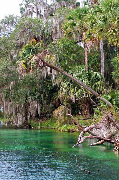
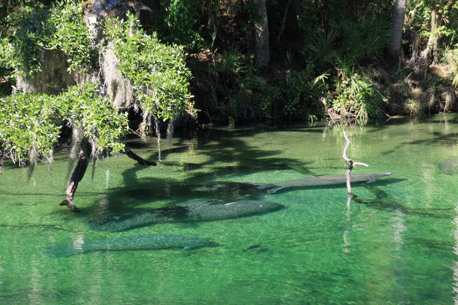
Geologists estimate that there are more than 1,000 springs in the state of Florida, representing what may be the largest concentration of freshwater springs on Earth. These unique waters provide a home for diverse wildlife communities as well as an enduringly popular recreational destination for many residents and visitors.
The department is committed to safeguarding all of Florida's natural resources and enhancing its ecosystems through creating strong community partnerships. With respect to protecting and restoring Florida springs, the Division of Environmental Assessment and Restoration coordinates monitoring and assessment of water quality, sets water quality restoration targets and implements broad-based blueprints for restoration activities.
Water Quality Monitoring and Assessment
The Florida Watershed Restoration Act and the federal Clean Water Act direct the department to monitor surface water quality and identify surface waters in Florida that do not meet water quality standards. Waters that do not meet standards, which may include springs, are identified as impaired.
Monitoring is ongoing and is performed to ensure adequate data is available to evaluate the health of Florida’s waters. Assessment of surface waters occurs on a rotating basis that addresses each major water basin every five years.
Excess nutrient levels, particularly forms of nitrogen, are the primary water quality problem in springs. High nitrogen levels can result when urban and agricultural stormwater runoff and inadequately treated wastewater — including densely clustered septic tank systems — impact vulnerable areas. Elevated nitrogen promotes excessive algal growth, deplete aquatic oxygen levels and compromise the spring ecosystem.
The division regularly assesses the water quality in springs and spring systems, using quality-assured data it collects from routine water-quality sampling as well as results from volunteer organizations, water management districts, local governments and other data providers.
You can explore when and where the division has collected water samples through our Water Quality Monitoring Activity Tracker interactive map. Sampling results are also publicly available through our Watershed Information Network (WIN) application and our STORET Public Access (SPA) application.
To assess a waterbody, the division compares the collected data to the appropriate standards for the waterbody's type and classification. The division also relies on common sense and visual observations, and can list a spring as impaired if there is a proliferation of algal mats or other obvious indicators of a problem.
Water Quality Restoration Targets
If the spring system is not meeting the criterion, it is identified as impaired. In response, the division generally adopts a scientific water quality restoration target, called a total maximum daily load (TMDL.) Based on a detailed prioritization process, the division creates a schedule for the development of TMDLs for impaired waters. You can read about how we prioritize waters and see which impaired waters are in the queue for TMDL development on our TMDL webpage.
Water quality restoration targets, however, can also be set via a stakeholder-led process to implement a reasonable assurance plan. These plans function as an alternative to traditional rule-based TMDL development, and they can often be a path to cleaner water, faster. Additional information for local governments, environmental groups and other members of the public interested in pursuing TMDL alternatives is available on our assessment webpage.
Implementing Restoration Activities
To achieve water quality restoration targets, the division works with local stakeholders to develop and implement a comprehensive basin management action plan (BMAP). BMAPs are adopted by Secretarial order and contain enforceable sets of projects and management practices designed to reduce nutrients and improve water quality over time. A comprehensive approach is necessary for springs because the areas contributing groundwater — and pollutants — to springs are expansive and encompass a variety of urban and agricultural land uses.
Each BMAP identifies the causes of impairment in the contributing area of the addressed waterbody(ies). In the case of a stream or lake, this contributing area may be its surface watershed (i.e., the total area where rainfall runs off the land surface into waters that drain to the impaired water). The water quality in springs generally reflects the water quality in the contributing groundwater. Therefore, for a spring, group of springs, or other surface waters impacted by groundwater, the area covered by the BMAP is often the groundwater contributing area, or springshed.
BMAPs are developed through a collaborative process led by DEP. Alternatively, stakeholder-led processes can result in the adoption of reasonable assurance plans. In either case, the process to develop a restoration strategy involves extensive collaboration with stakeholders within the groundwater contributing area. These interactions include working with people on an individual basis and through publicly noticed meetings; developing lists of projects with timelines for achieving nitrogen (or other pollutant) reductions in the springs; and implementing monitoring strategies to measure water quality changes during BMAP implementation.
Outstanding Florida Springs
In 2016, the Florida Legislature enacted the Florida Springs and Aquifer Protection Act. This act affords special status and protection to historic first-magnitude springs and to other springs of special significance. As the Legislature noted, these "Outstanding Florida Springs" are a unique part of the state's scenic beauty, provide critical habitat and have immeasurable natural, recreational, economic and inherent value. The act requires the department to assess the water quality in Outstanding Florida Springs.
The division has assessed each spring or spring system at least once and has listed 24 of the springs as impaired. For the impaired springs, the act requires the department to adopt (or re-adopt) a BMAP to implement all the new protections of the act, including:
- Delineated priority focus areas where certain activities are prohibited.
- Prioritized lists of restoration projects along with planning level estimates for cost, schedule and nutrient load reduction.
- Phased milestones (5-year, 10-year and 15-year) to achieve water quality restoration targets in 20 years.
- Estimated nutrient pollutant loads, allocated to each source or category of sources.
- Completed remediation plans for onsite sewage treatment and disposal systems (OSTDS) where septic loading accounts for at least 20 percent of the estimated nutrient input.
In June 2018 DEP adopted 13 restoration plans, addressing all 24 nitrogen-impaired Outstanding Florida Springs. You can follow our progress, and learn how to participate in BMAP development, at our BMAP webpage.
The division's Groundwater Management Section researches springs and groundwater flows to develop priority focus areas and estimates of nutrient pollutant loads from different source categories.


