
STATEMAP
The Florida Geological Survey Mapping Initiative (FGSMI) serves as the framework for accomplishing a long-term goal set by the Florida Geological Survey (FGS) to update the statewide surficial geologic map of Florida. The last published statewide surficial geologic map of Florida was published by Scott, et al. (2001). Since then, the FGS has gathered additional geologic data, mapped about half of the state at a higher resolution through the STATEMAP program, aided by LiDAR-based elevation models. As a result, the FGS is poised to complete and publish an updated surficial geologic map of Florida.
Background and History
The National Cooperative Geologic Mapping Program (NCGMP) was established in 1992 with signing into law of the National Geologic Mapping Act (Public Law 102-285). The act has been re-authorized three times, most recently by the 111th Congress in 2009 (Public Law 111-11, sec. 11001). The program’s objectives are to develop geologic maps, create associated national geologic databases (e.g., geochemical, geochronologic, paleontologic), supply the data to the public, and increase public awareness of the application of geologic information to land-use management. To read copies of the original act and subsequent reauthorizations, visit the National Cooperative Geologic Mapping Program.
The NCGMP has three components: FEDMAP, EDMAP and STATEMAP. FEDMAP funding is reserved for U.S. Geological Survey (USGS) projects based on recommendations of a federal advisory committee and a FEDMAP Review Panel. EDMAP is designed to train the next generation of geologic mappers. Funds are allocated to colleges and universities through an annual competitive grant process and matched on a 50/50 basis with university funds. STATEMAP provides funding through an annual competitive grant process available to all state geological surveys for the purpose of creating new geologic maps or compiling existing geologic data within the states. STATEMAP awards are matched on a 50/50 basis with state funds. Follow this link to see USGS NCGMP currently funded mapping.
STATEMAP proposals, which are submitted each November to the USGS for funding consideration, are based upon recommended mapping priorities established by the State Mapping Advisory Committee (SMAC). SMAC members represent a wide variety of private sector, public, and government interests. In October of each year, the SMAC meets to select the area that will be proposed to the USGS for new mapping and to refine the three- to five-year geologic mapping plan. This three- to five-year plan is based on the panel’s discussions regarding scientific needs or the societal and economic welfare of Florida.

The Florida Geological Survey STATEMAP program resides within the Geologic Investigations Section and was established in 1994 with an award of $30,000 from the USGS to create a geologic map of the eastern portion of the USGS 1:100,000 scale Homestead quadrangle. Since then, the FGS has received awards for new geologic mapping every year from the USGS. To date, the FGS has mapped approximately 33,300 square miles under grants from the USGS STATEMAP program (see the AASG Fact Sheet for Florida STATEMAP information).
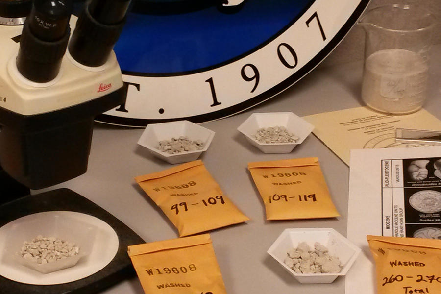
The FGS generally maps a full 1:100,000 scale quadrangle (which equates to 32 1:24,000 scale quadrangles) each year. The field mapping takes place at 1:24,000 scale, with the final product being produced as a 1:100,000 scale map. The final products typically consist of a geologic map, geologic cross-sections, and explanatory text for the study area. These are published through the FGS Open-File Map Series (OFMS) and Open-File Report (OFR) series each Autumn. STATEMAP program personnel work closely with Geological Sample Acquisition and Management Section staff to gather new geologic data using various FGS drilling rigs and geophysical tools. To download published products, visit the STATEMAP Products page.
FGS STATEMAP accomplishments to date
60.84% of the state mapped
658 7.5 minute (1:24,000) quads mapped
22.5 (1:100,000 scale) quadrangles mapped
40,008 miles2 (103,620 km2) mapped
189 cores drilled
23,665 feet of new core added to FGS archives
Over 1,700 M-series samples collected
Average cost/mile2 = $230.47*
Average cost/km2 = $88.99*
(*includes State Matching Funds/Staff time)