

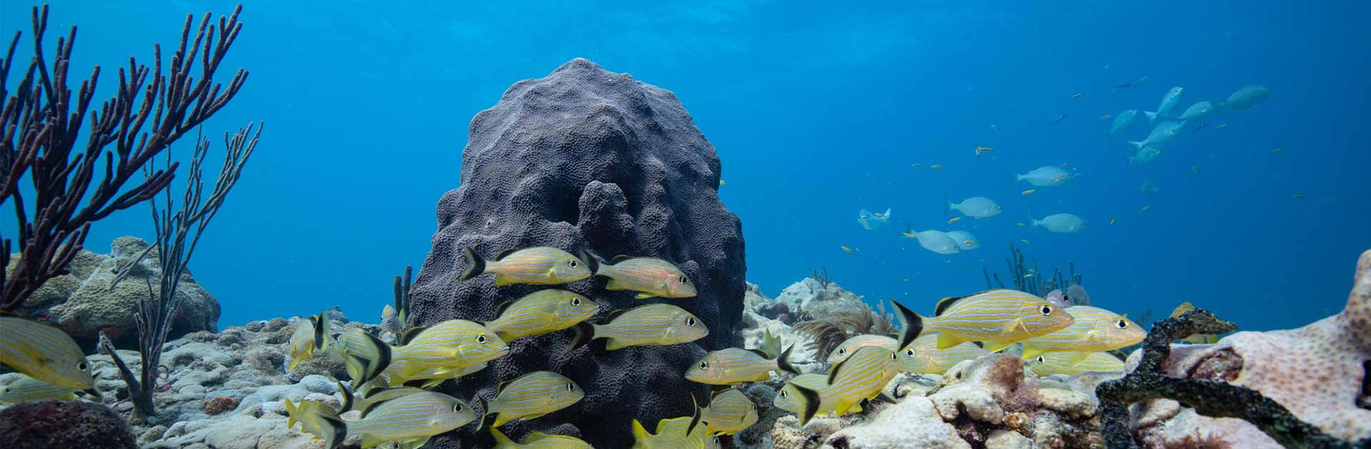
Reef Injury Prevention and Response Program
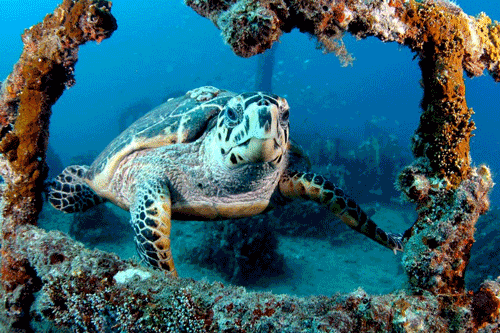
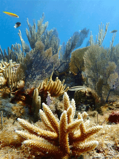
The Reef Injury Prevention and Response (RIPR) Program is responsible for leading response to, and management of, coral reef and hardbottom injuries resulting from direct impacts such as vessel grounding, anchoring and cable drag events in this area.
- In 2009, the Florida Legislature passed the Florida Coral Reef Protection Act (CRPA) to increase protection of coral reef resources off the coasts of Monroe, Miami-Dade, Broward, Palm Beach and Martin counties.
- Florida's CRPA authorizes DEP as the state's lead trustee for coral reef resources, to protect coral reefs from vessel impacts.
Program Goals
- To develop and implement management actions that prevent coral reef injuries associated with commercial and recreational vessels using tools created through the Southeast Florida Coral Reef Initiative and other local action strategies.
- When damages to reef resources do occur, to ensure that appropriate and adequate restoration and/or mitigation is carried out on impacted coral reef resources and that those responsible for damages are held accountable.
Steps to Avoid Damaging Coral Reefs
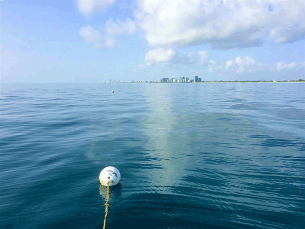
Florida boaters can have a safe and enjoyable time on the water while also caring for important local marine life. Anchor and grounding damage can be minimized and/or prevented by the millions of boaters visiting Florida’s Coral reef every year by using these responsible boating practices and encouraging others to do the same.
- Use publicly available, legally installed, free mooring buoys and encourage all other boaters to do the same. Help other boaters locate available mooring buoys. Maps are available for Martin, Palm Beach, Broward, and Miami-Dade counties, Monroe County and Biscayne National Park.
- Anchor in the sand, away from the live coral reef, and be sure your chain is not swinging over hardbottom habitat.
- Carry enough chain and line to safely anchor at your planned depth (recommended seven times the depth).
- Always check the area for coral, seagrass and other sensitive habitats before anchoring, either visually, or from a nautical chart, or using the Florida's Coral Reef Locator.
If the anchor gets stuck, do not yank it. Move the vessel in the direction of the anchor while slowly pulling up the anchor chain until the vessel is directly above it, then proceed to pull it up vertically.
Image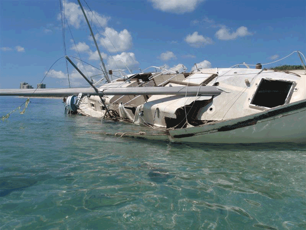
- To avoid grounding, be mindful of anchoring in shallow areas, particularly at high tide. Consult bathymetry maps to plan a route that avoids shallow areas.
- Report Marine Incidents to SEAFAN: Marine incidents include vessel groundings, anchor damage, algal blooms, fish kill and disease, coral disease and bleaching, discolored water and the presence of invasive species. Just report what, when, and where the incident was observed and SEAFAN will coordinate a response.
Benthic Habitat Maps & Nautical Charts*
Broward County Benthic Habitat Maps
- NOAA Chart and Benthic Habitat Map - Broward North.
- NOAA Chart and Benthic Habitat Map - Broward South.
Martin County Benthic Habitat Maps
- NOAA Chart and Benthic Habitat Map - Martin North.
- NOAA Chart and Benthic Habitat Map - Martin South.
Miami-Dade County Benthic Habitat Maps
- NOAA Chart and Benthic Habitat Map - Miami-Dade North.
- NOAA Chart and Benthic Habitat Map - Miami-Dade South.
Palm Beach County Benthic Habitat Maps
- NOAA Chart and Benthic Habitat Map - Palm Beach Central.
- NOAA Chart and Benthic Habitat Map - Palm Beach North.
- NOAA Chart and Benthic Habitat Map - Palm Beach South.
*For 508-Compliant versions of above maps and charts, please contact Megan Miller.