
Integrated Habitat Network
The Integrated Habitat Network (IHN) plan is the focus for the reclamation and permitting efforts for phosphate mining in Central Florida. The IHN is based on a regional conceptual plan that outlines guiding principles for the design of reclamation in the entire phosphate-mining district (approximately 1.3 million acres of land).
The goals of the IHN are:
- To replace drainage and hydrologic functions disrupted by mining operations
- To provide quality wildlife habitat and corridors by maximization of habitat replacement, protection and connection
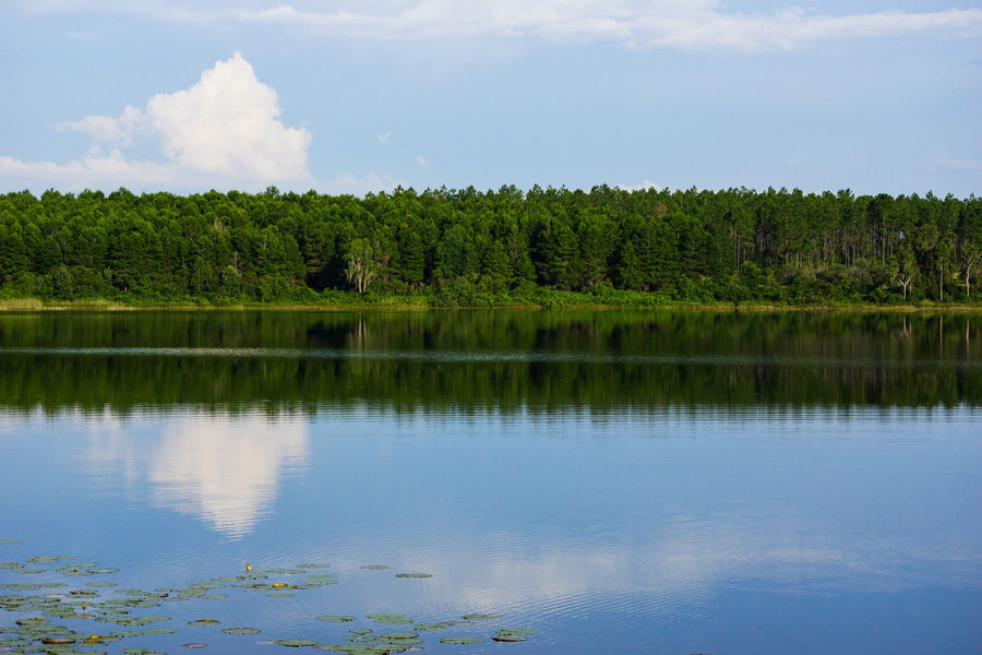
The IHN is neither a permit nor is it an approval. It utilizes a corridor concept to promote restoration of natural areas along river floodplains and connect natural areas managed by the state, such as the Green Swamp, Myakka River State Park and Charlotte Harbor.

Management of IHN Lands
Some IHN lands are managed by the Mining and Mitigation Program's Homeland field office.
Through the Coastal Petroleum Litigation Settlement Agreement (Coastal Settlement), finalized in 1987, five phosphate mine companies were required to deed approximately 6,250 acres along the Peace River, North Prong Alafia River and South Prong Alafia River floodplains to the state of Florida. Over a period of 12 years, approximately 5,100 acres of Coastal Settlement Lands were leased to the Mining Program. In addition, the Mining Program manages approximately 11,350 acres of previously mined lands that have been donated to the state.
The focus on the management of these properties is the protection of water, natural and cultural resources. The majority of the floodplain lands are not actively managed; however, the Peace River floodplain from Bartow to Fort Meade is an active karst region and includes the historic Kissengen Springs (which stopped flowing in the 1960s). Homeland staff assists the Southwest Florida Water Management District and the USGS in monitoring the karst sinkholes. Due to the educational significance of the region, staff facilitate school and college group tours, and volunteer groups participating in river clean-up, invasive plant control and replanting native species. The properties that are most actively managed include the Homeland Office, Tenoroc and Chicora. The Upper Peace River/Saddle Creek Restoration Project has been completed on some of these lands. The main goal on these properties is the transition from a previously mined landform into a native community. At these locations, staff conduct prescribed burns, control invasive plants, replant native species, and perform other management activities in accordance with resource management plans.
- Integrated Habitat Network Resource Management Plan, Lease No. 3963
- Integrated Habitat Network Resource Management Plan, Lease No. 3995
- DRAFT Integrated Habitat Network Resource Management Plan, Lease No. 3995 (Nov. 2025)
